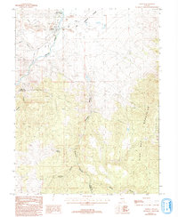
1993 Map of Dayton
USGS Topo · Published 1993About this map
The Carson River carves through this Comstock-era landscape, where the settlement of Dayton sits at the western edge of the Carson Plains. The map reveals an intensive history of extraction, with the hillsides of Gold Canyon and Daney Canyon heavily marked by prospect pits and a Mine Shaft. Industrial traces are everywhere, from the Tailings Pond north of town to the ditch systems and pipeline routes that suggest a complex water management history needed for mining and agriculture.
Find a feature on this map
29 named features on this map. Tap any name to fly to it.
Don’t see what you’re looking for? This feature index may not catch every label — zoom into the map to look around manually.
Map Details
Editions of this 1993 Dayton Map
This is the sole edition of this map. No revisions or reprints were ever made.
Other maps of this area

1891 · Carson
USGS Topo · 1:125,000

1891 · Wabuska
USGS Topo · 1:125,000

1893 · Carson
USGS Topo · 1:125,000

1894 · Wabuska
USGS Topo · 1:125,000

1950 · Virginia City
USGS Topo · 1:62,500

1952 · Virginia City
USGS Topo · 1:62,500

1956 · Dayton
USGS Topo · 1:62,500

1957 · Como
USGS Topo · 1:62,500

1957 · Churchill Butte
USGS Topo · 1:62,500

1957 · Reno
USGS Topo · 1:250,000