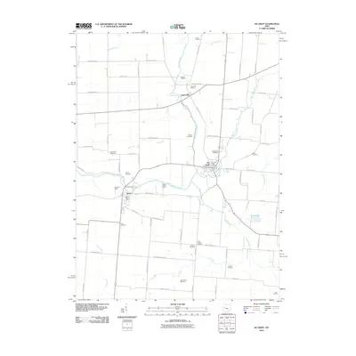
2010 Map of De Graff
USGS Topo · Published 2010About this map
The Great Miami River winds through this Logan County landscape, serving as a primary geographical anchor for the villages of De Graff and Quincy. In this early 21st-century representation, the area maintains its rural character, defined by an extensive grid of township and county roads that connect outlying family cemeteries and small settlements. The map highlights the localized services of the De Graff Post Office and Quincy Post Office, alongside recreational and community landmarks such as Miami Valley Camp and S and S Field.
Find a feature on this map
74 named features on this map. Tap any name to fly to it.
Don’t see what you’re looking for? This feature index may not catch every label — zoom into the map to look around manually.
Map Details
Editions of this 2010 De Graff Map
This is the sole edition of this map. No revisions or reprints were ever made.
Other maps of this area

1913 · Bellefontaine
USGS Topo · 1:48,000

1913 · Sidney
USGS Topo · 1:62,500

1914 · Troy
USGS Topo · 1:62,500

1914 · St. Paris
USGS Topo · 1:62,500

1915 · Bellefontaine
USGS Topo · 1:62,500

1916 · St. Paris
USGS Topo · 1:62,500

1944 · Sidney
USGS Topo · 1:62,500

1944 · St. Paris
USGS Topo · 1:62,500

1944 · Troy
USGS Topo · 1:62,500

1944 · Bellefontaine
USGS Topo · 1:62,500