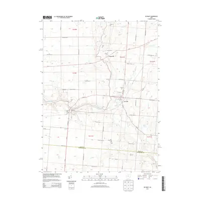
2013 Map of De Graff
USGS Topo · Published 2013About this map
The Great Miami River winds through the heart of this western Ohio landscape, connecting the neighboring villages of Quincy and De Graff. These settlements, along with the smaller community of Logansville to the north, represent the primary residential hubs of the early 21st century. The map reveals a dense network of local genealogy resources, specifically a high concentration of burial grounds including Quincy Cem, Greenwood Cem, and Olive Chapel Cem. The transition from the rural farmlands of Logan County into northern Champaign County is marked by the course of Stony Creek and the presence of Black Lake. Aviation history is represented by the S and S Field Airport located just west of Quincy, while the surrounding terrain is defined by a grid of township roads and the meandering paths of several smaller waterways like Neals Run and Indian Cr.
Find a feature on this map
124 named features on this map. Tap any name to fly to it.
Don’t see what you’re looking for? This feature index may not catch every label — zoom into the map to look around manually.
Map Details
Editions of this 2013 De Graff Map
This is the sole edition of this map. No revisions or reprints were ever made.
Other maps of this area

1913 · Bellefontaine
USGS Topo · 1:48,000

1913 · Sidney
USGS Topo · 1:62,500

1914 · Troy
USGS Topo · 1:62,500

1914 · St. Paris
USGS Topo · 1:62,500

1915 · Bellefontaine
USGS Topo · 1:62,500

1916 · St. Paris
USGS Topo · 1:62,500

1944 · Sidney
USGS Topo · 1:62,500

1944 · St. Paris
USGS Topo · 1:62,500

1944 · Troy
USGS Topo · 1:62,500

1944 · Bellefontaine
USGS Topo · 1:62,500