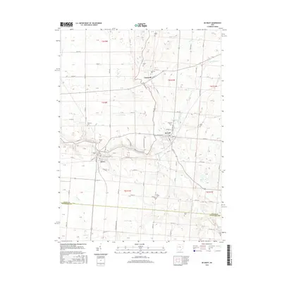
2016 Map of De Graff
USGS Topo · Published 2016About this map
The Great Miami River flows through this corner of western Ohio, where the settlements of Quincy and Logansville anchor a landscape defined by small-scale agriculture and several rural cemeteries. These burial grounds, including Armstrong Cem and Quincy Cem, are vital landmarks for genealogists tracing family histories in the townships of Logan and Champaign counties. The map captures a transition between the river's path and its tributaries like Bokengehalas Creek and Stony Creek. Recreational sites such as the Miami Valley Campground and Riverside Campground line the river banks, highlighting the area's modern identity as a place for outdoor leisure. Local worship is centered at Olive Chapel, while a dense network of township and county roads, such as Rosewood-Quincy Rd, connects the scattered farmsteads and small rural communities.
Find a feature on this map
122 named features on this map. Tap any name to fly to it.
Don’t see what you’re looking for? This feature index may not catch every label — zoom into the map to look around manually.
Map Details
Editions of this 2016 De Graff Map
This is the sole edition of this map. No revisions or reprints were ever made.
Other maps of this area

1913 · Bellefontaine
USGS Topo · 1:48,000

1913 · Sidney
USGS Topo · 1:62,500

1914 · Troy
USGS Topo · 1:62,500

1914 · St. Paris
USGS Topo · 1:62,500

1915 · Bellefontaine
USGS Topo · 1:62,500

1916 · St. Paris
USGS Topo · 1:62,500

1944 · Sidney
USGS Topo · 1:62,500

1944 · St. Paris
USGS Topo · 1:62,500

1944 · Troy
USGS Topo · 1:62,500

1944 · Bellefontaine
USGS Topo · 1:62,500