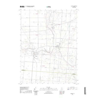
2019 Map of De Graff
USGS Topo · Published 2019About this map
De Graff and Quincy anchor this Logan County landscape along the Great Miami River at a time when traditional agricultural patterns meet modern recreational use. The terrain is defined by the winding paths of Indian Creek and Bokengehalas Creek, which carve through the till plains of western Ohio. Numerous family-named burial sites, such as Armstrong Cemetery and Moorés Cemetery, are scattered across the townships, providing a clear map of early settlement history and genealogy.
Find a feature on this map
100 named features on this map. Tap any name to fly to it.
Don’t see what you’re looking for? This feature index may not catch every label — zoom into the map to look around manually.
Map Details
Editions of this 2019 De Graff Map
This is the sole edition of this map. No revisions or reprints were ever made.
Other maps of this area

1913 · Bellefontaine
USGS Topo · 1:48,000

1913 · Sidney
USGS Topo · 1:62,500

1914 · Troy
USGS Topo · 1:62,500

1914 · St. Paris
USGS Topo · 1:62,500

1915 · Bellefontaine
USGS Topo · 1:62,500

1916 · St. Paris
USGS Topo · 1:62,500

1944 · Sidney
USGS Topo · 1:62,500

1944 · St. Paris
USGS Topo · 1:62,500

1944 · Troy
USGS Topo · 1:62,500

1944 · Bellefontaine
USGS Topo · 1:62,500