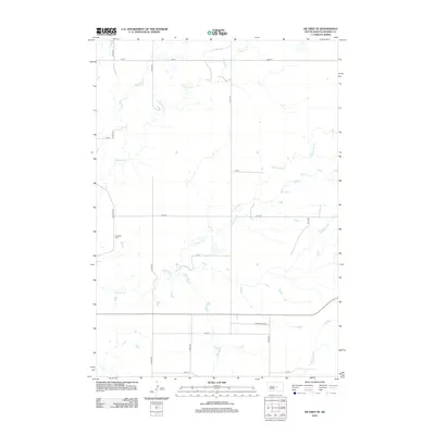
2012 Map of De Grey SE
USGS Topo · Published 2012About this map
Chapelle Cr and its tributary, S Chapelle Cr, meander through this section of Hughes County, creating a network of drainage channels across the rural landscape. The map reflects a modern prairie infrastructure defined by a strict section-line road grid, including 314th Ave and 216 St. A primary point of local historical interest is the Chapelle Cem, situated along Chapelle Rd in the western portion of the quadrangle. This burial site remains a quiet landmark in an area otherwise dominated by large-scale agricultural plots. Transportation across the southern portion of the region is anchored by S Dakota Hwy 34, which cuts through the grid as it connects the rural townships east of the state capital.
Find a feature on this map
17 named features on this map. Tap any name to fly to it.
Don’t see what you’re looking for? This feature index may not catch every label — zoom into the map to look around manually.
Map Details
Editions of this 2012 De Grey SE Map
This is the sole edition of this map. No revisions or reprints were ever made.
Other maps of this area

1953 · Huron
USGS Topo · 1:250,000

1954 · Huron
USGS Topo · 1:250,000

1966 · Lower Brule NW
USGS Topo · 1:24,000

1966 · Joe Creek
USGS Topo · 1:24,000

1966 · Joe Creek NW
USGS Topo · 1:24,000

1967 · De Grey NE
USGS Topo · 1:24,000
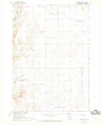
1967 · De Grey NW
USGS Topo · 1:24,000

1973 · De Grey SE
USGS Topo · 1:24,000
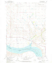
1973 · De Grey
USGS Topo · 1:24,000

1973 · Chapelle Lake SW
USGS Topo · 1:24,000