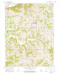
1961 Map of De Kalb
USGS Topo · Published 1978About this map
De Kalb serves as the central hub of this 1961 Missouri quadrangle, situated amidst the dissected uplands near the boundary of Buchanan and Platte Counties. The landscape is defined by an intricate network of waterways, including Sugar Creek, Bee Creek, and Lost Creek, which have carved deep valleys into the terrain. A legacy of transportation and industry is evident in the presence of the C R I & P railroad line and a significant Railroad Grade tracking through the hills, alongside several quarries and the Alexander Dam.
Find a feature on this map
27 named features on this map. Tap any name to fly to it.
Don’t see what you’re looking for? This feature index may not catch every label — zoom into the map to look around manually.
Map Details
Editions of this 1961 De Kalb Map
2 editions found
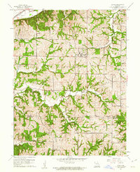
Other maps of this area

1885 · Atchison
USGS Topo · 1:125,000

1886 · Oskaloosa
USGS Topo · 1:125,000

1888 · Oskaloosa
USGS Topo · 1:125,000

1888 · Atchison
USGS Topo · 1:125,000

1890 · Kansas City
USGS Topo · 1:125,000

1893 · Atchison
USGS Topo · 1:125,000

1894 · Kansas City
USGS Topo · 1:125,000

1894 · Oskaloosa
USGS Topo · 1:125,000

1910 · Leavenworth
USGS Topo · 1:62,500

1926 · Atchison
USGS Topo · 1:62,500