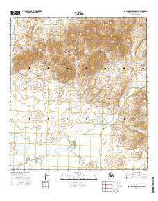
2015 Map of De Long Mountains A-3 SE
USGS Topo · Published 2015About this map
The high Arctic peaks of the De Long Mountains dominate this remote portion of the Northwest Arctic Borough. The Wulik River and the W Fork Wulik River wind through the township boundaries of t31n r20w and t31n r21w, shaping the hydrology of this treeless tundra landscape. Distinctive peaks like Ilatsutigrak Mtn and Punupkahkroak Mtn provide the primary navigational landmarks in a region largely defined by its lack of permanent settlements or infrastructure. The presence of Ferric Cr in the northeastern quadrant suggests the mineral-rich nature of the local geology, characteristic of the northern Brooks Range foothills. This 2015 data from the U.S. Geological Survey illustrates the intersection of modern satellite imagery and traditional topographic mapping in one of the most secluded environments in Alaska.
Find a feature on this map
12 named features on this map. Tap any name to fly to it.
Don’t see what you’re looking for? This feature index may not catch every label — zoom into the map to look around manually.
Map Details
Editions of this 2015 De Long Mountains A-3 SE Map
This is the sole edition of this map. No revisions or reprints were ever made.
Other maps of this area

1951 · De Long Mountains
USGS Topo · 1:250,000

1951 · Noatak
USGS Topo · 1:250,000

1955 · Noatak
USGS Topo · 1:250,000

1955 · De Long Mountains
USGS Topo · 1:250,000

1955 · Noatak D-4
USGS Topo · 1:63,360

1955 · Noatak D-3
USGS Topo · 1:63,360

1955 · De Long Mountains A-3
USGS Topo · 1:63,360

1955 · De Long Mountains A-2
USGS Topo · 1:63,360

1964 · Noatak
USGS Topo · 1:250,000

1965 · De Long Mountains
USGS Topo · 1:250,000