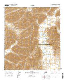
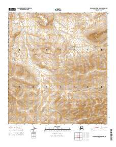
2015 Map of De Long Mountains B-2 SE
USGS Topo · Published 2015About this map
The Noatak National Preserve encompasses much of this remote Arctic landscape, where the high ridges of the De Long Mountains slope toward the tundra. The terrain is defined by dramatic elevation changes, with the upper reaches of Wrench Creek cutting through the northeast corner of the quadrangle. This map documents a critical administrative boundary where the North Slope Borough meets the Northwest Arctic Borough, a line that divides some of the most remote wilderness in the American North. Without roads or permanent settlements, the area remains an untouched expanse of peaks and valleys, preserving the traditional subsistence lands and wildlife corridors vital to the region.
Find a feature on this map
9 named features on this map. Tap any name to fly to it.
Don’t see what you’re looking for? This feature index may not catch every label — zoom into the map to look around manually.
Map Details
Editions of this 2015 De Long Mountains B-2 SE Map
This is the sole edition of this map. No revisions or reprints were ever made.
Other maps of this area

1951 · De Long Mountains
USGS Topo · 1:250,000

1955 · De Long Mountains
USGS Topo · 1:250,000

1955 · De Long Mountains A-1
USGS Topo · 1:63,360

1955 · De Long Mountains A-2
USGS Topo · 1:63,360

1955 · De Long Mountains B-2
USGS Topo · 1:63,360
1955 · De Long Mountains B-1
USGS Topo · 1:63,360

1965 · De Long Mountains
USGS Topo · 1:250,000
2015 · De Long Mountains A-2 NW
USGS Topo · 1:25,000
2015 · De Long Mountains B-2 SW
USGS Topo · 1:25,000
2015 · De Long Mountains B-2 NW
USGS Topo · 1:25,000