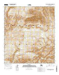
2015 Map of De Long Mountains B-3 NW
USGS Topo · Published 2015About this map
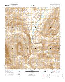
Mt Kelly dominates the high ground of the northern terrain in this portion of the North Slope borough, situated within the De Long Mountains. The landscape is defined by the drainage patterns of two major river systems: the Ipewik River, which cuts across the northwestern corner, and the Kukpuk River, which winds through the southern sections. This 2015 survey reflects the enduring isolation of the region, where the lack of roads or permanent settlements emphasizes the role of the river valleys as natural corridors through the topographic folds of the Arctic wilderness. Mapping here focuses on the precise contouring of the peaks and the hydrography of the interior, essential for understanding the remote watersheds of the far north.
Find a feature on this map
7 named features on this map. Tap any name to fly to it.
Don’t see what you’re looking for? This feature index may not catch every label — zoom into the map to look around manually.
Map Details
Editions of this 2015 De Long Mountains B-3 NW Map
This is the sole edition of this map. No revisions or reprints were ever made.
Other maps of this area

1951 · De Long Mountains
USGS Topo · 1:250,000

1955 · De Long Mountains
USGS Topo · 1:250,000

1955 · De Long Mountains C-4
USGS Topo · 1:63,360

1955 · De Long Mountains B-3
USGS Topo · 1:63,360
1955 · De Long Mountains B-4
USGS Topo · 1:63,360
1955 · De Long Mountains C-3
USGS Topo · 1:63,360

1965 · De Long Mountains
USGS Topo · 1:250,000
2014 · De Long Mountains C-4 SE
USGS Topo · 1:25,000
2014 · De Long Mountains C-3 SE
USGS Topo · 1:25,000
2014 · De Long Mountains C-3 SW
USGS Topo · 1:25,000