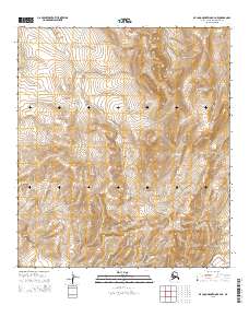
2015 Map of De Long Mountains B-4 NE
USGS Topo · Published 2015About this map
Woolfe Fork snakes through this high-latitude terrain of the North Slope, illustrating the complex drainage patterns typical of the De Long Mountains. This 2015 survey provides a modern snapshot of a remote landscape where the Ipewik River originates and flows through an area defined by significant relief and the Public Land Survey System boundaries of t11s r52w and t12s r51w. The convergence of these watercourses amidst the varied contour elevations highlights the geological structure of the Brooks Range foothills before they descend toward the Arctic coastal plain. Researchers can examine the precise hydrography and township divisions that delineate this largely roadless and uninhabited territory.
Find a feature on this map
6 named features on this map. Tap any name to fly to it.
Don’t see what you’re looking for? This feature index may not catch every label — zoom into the map to look around manually.
Map Details
Editions of this 2015 De Long Mountains B-4 NE Map
This is the sole edition of this map. No revisions or reprints were ever made.
Other maps of this area

1951 · De Long Mountains
USGS Topo · 1:250,000

1955 · De Long Mountains
USGS Topo · 1:250,000

1955 · De Long Mountains C-4
USGS Topo · 1:63,360

1955 · De Long Mountains B-3
USGS Topo · 1:63,360
1955 · De Long Mountains B-4
USGS Topo · 1:63,360
1955 · De Long Mountains C-3
USGS Topo · 1:63,360

1965 · De Long Mountains
USGS Topo · 1:250,000
2014 · De Long Mountains C-4 SE
USGS Topo · 1:25,000
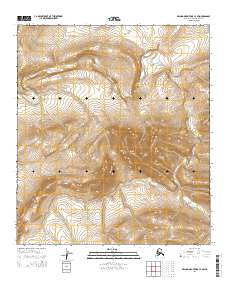
2014 · De Long Mountains C-4 SW
USGS Topo · 1:25,000
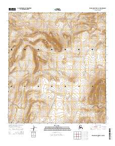
2014 · De Long Mountains C-3 SW
USGS Topo · 1:25,000