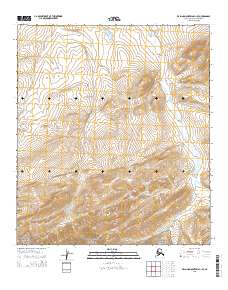
2015 Map of De Long Mountains C-1 SE
USGS Topo · Published 2015About this map
Noatak National Preserve anchors the southern boundary of this high-latitude survey, where the protected wilderness of the western Brooks Range meets the North Slope. The terrain is defined by the massive uplift of the De Long Mountains, which dominate the central and southern portions of the sheet with a complex series of ridges and drainages. The Kokolik River winds through the eastern side of the quadrangle, serving as a primary watercourse in this roadless environment. This map illustrates the intersection of vast federal conservation lands and the remote interior of the North Slope, offering a detailed record of the physical geography before 21st-century environmental shifts or potential resource exploration changed the character of these mountain valleys.
Find a feature on this map
9 named features on this map. Tap any name to fly to it.
Don’t see what you’re looking for? This feature index may not catch every label — zoom into the map to look around manually.
Map Details
Editions of this 2015 De Long Mountains C-1 SE Map
This is the sole edition of this map. No revisions or reprints were ever made.
Other maps of this area

1951 · De Long Mountains
USGS Topo · 1:250,000

1951 · Misheguk Mountain
USGS Topo · 1:250,000

1955 · De Long Mountains
USGS Topo · 1:250,000
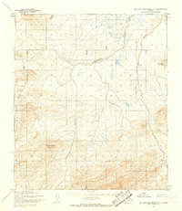
1955 · De Long Mountains C-1
USGS Topo · 1:63,360
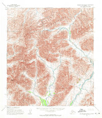
1955 · De Long Mountains B-1
USGS Topo · 1:63,360

1956 · Misheguk Mountain
USGS Topo · 1:250,000

1965 · De Long Mountains
USGS Topo · 1:250,000
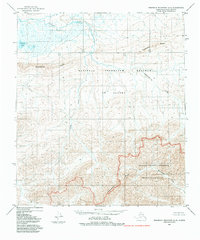
1984 · Misheguk Mountain C-5
USGS Topo · 1:63,360
1990 · Misheguk Mountain B-5
USGS Topo · 1:63,360
2015 · De Long Mountains C-1 SW
USGS Topo · 1:25,000