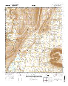
2014 Map of De Long Mountains D-2 SW
USGS Topo · Published 2014About this map
Kukpowruk River meanders through this remote portion of the North Slope, shaping the drainage patterns across the De Long Mountains foothills. The landscape is defined by significant topographic relief, most notably at Igloo Mountain in the southeast and the broad expanse of Raven Basin to the west. Small seasonal waterways like Eagle Cr feed into the primary river system, reflecting the hydrologic structure of this Arctic environment. Surveyed in the early 21st century, the map provides precise elevation data and Public Land Survey System boundaries for townships including t7s r47w and t7s r46w. This document serves as a detailed record of the uninhabited terrain, showing the relationship between the high ridges and the river valleys that cut through the tundra.
Find a feature on this map
10 named features on this map. Tap any name to fly to it.
Don’t see what you’re looking for? This feature index may not catch every label — zoom into the map to look around manually.
Map Details
Editions of this 2014 De Long Mountains D-2 SW Map
This is the sole edition of this map. No revisions or reprints were ever made.
Other maps of this area

1951 · De Long Mountains
USGS Topo · 1:250,000

1955 · De Long Mountains
USGS Topo · 1:250,000

1955 · De Long Mountains D-2
USGS Topo · 1:63,360
1955 · De Long Mountains C-2
USGS Topo · 1:63,360
1955 · De Long Mountains D-3
USGS Topo · 1:63,360
1955 · De Long Mountains C-3
USGS Topo · 1:63,360

1965 · De Long Mountains
USGS Topo · 1:250,000
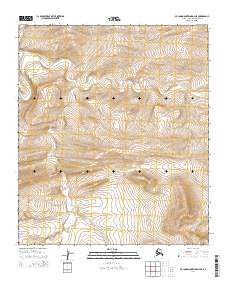
2014 · De Long Mountains D-2 NE
USGS Topo · 1:25,000
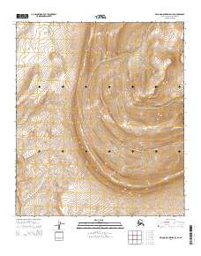
2014 · De Long Mountains D-3 SE
USGS Topo · 1:25,000
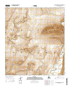
2014 · De Long Mountains C-3 NE
USGS Topo · 1:25,000