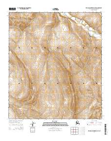
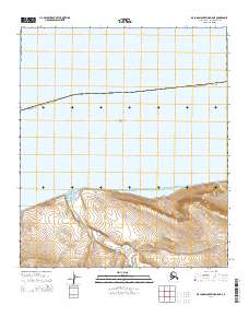
2014 Map of De Long Mountains D-5 SE
USGS Topo · Published 2014About this map
Pitmegea River winds through the northernmost reaches of the Arctic landscape in this 2014 survey. Located within the North Slope, the terrain is defined by a dense network of topographic contours and the primary drainage system of the river as it flows toward the Chukchi Sea. The map identifies specific public land survey divisions, including t6s r54w, t6s r53w, t7s r54w, t7s r53w, t8s r54w, and t8s r53w, providing a precise grid for any researcher tracking land usage or environmental change in this remote section of the De Long Mountains. The absence of roads or permanent structures reflects the high-latitude wilderness character of this region during the early 21st century.
Find a feature on this map
7 named features on this map. Tap any name to fly to it.
Don’t see what you’re looking for? This feature index may not catch every label — zoom into the map to look around manually.
Map Details
Editions of this 2014 De Long Mountains D-5 SE Map
This is the sole edition of this map. No revisions or reprints were ever made.
Other maps of this area

1951 · De Long Mountains
USGS Topo · 1:250,000

1955 · De Long Mountains
USGS Topo · 1:250,000

1955 · De Long Mountains D-4
USGS Topo · 1:63,360

1955 · De Long Mountains C-4
USGS Topo · 1:63,360

1955 · De Long Mountains C-5
USGS Topo · 1:63,360
1955 · De Long Mountains D-5
USGS Topo · 1:63,360

1965 · De Long Mountains
USGS Topo · 1:250,000
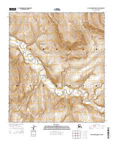
2014 · De Long Mountains D-4 SW
USGS Topo · 1:25,000
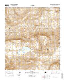
2014 · De Long Mountains C-4 NW
USGS Topo · 1:25,000
2014 · De Long Mountains D-5 NE
USGS Topo · 1:25,000