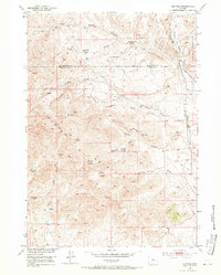
1952 Map of De Pass
USGS Topo · Published 1970About this map
Copper Mountain and Lysite Mountain dominate this section of the central Wyoming range, where the intersection of Hot Springs and Fremont counties meets an environment defined by deep draws and high peaks. The 1952 landscape reveals a region of transition between active ranching and fading industrial history. The presence of the De Pass Copper Mine (Inactive) and another unnamed Copper Mine (Inactive) nearby suggests a period when mineral extraction was more central to the local economy.
Find a feature on this map
39 named features on this map. Tap any name to fly to it.
Don’t see what you’re looking for? This feature index may not catch every label — zoom into the map to look around manually.
Map Details
Editions of this 1952 De Pass Map
2 editions found
Other maps of this area

1952 · Gates Butte
USGS Topo · 1:24,000

1952 · Rathbun Ranch
USGS Topo · 1:24,000

1952 · Picard Ranch
USGS Topo · 1:24,000

1952 · Lysite
USGS Topo · 1:24,000

1952 · Arapahoe Butte
USGS Topo · 1:24,000

1952 · De Pass
USGS Topo · 1:24,000

1952 · Guffy Peak
USGS Topo · 1:24,000

1952 · Bull Mountain
USGS Topo · 1:24,000

1955 · Arminto
USGS Topo · 1:250,000

1957 · Rathbun Ranch
USGS Topo · 1:24,000