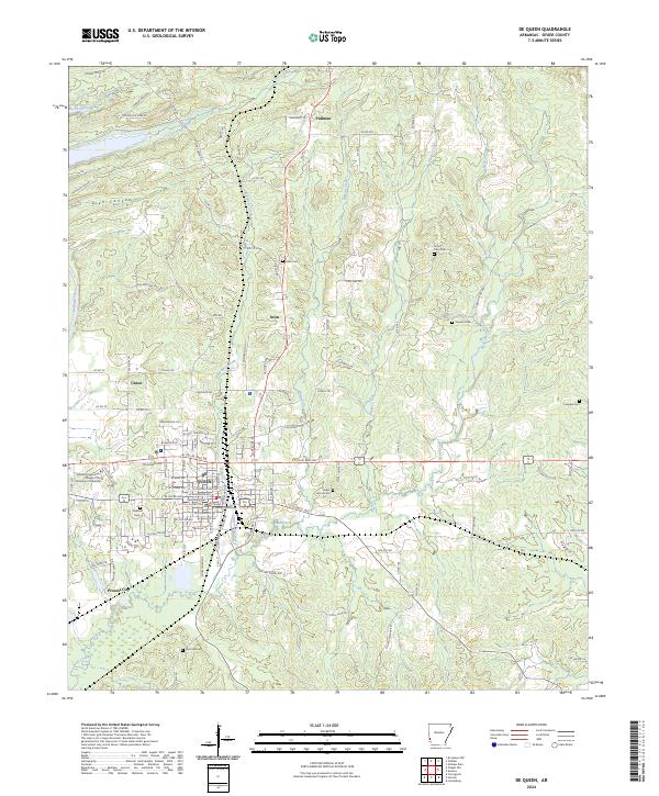
2024 Map of De Queen
USGS Topo · Published 2024About this map
The county seat of De Queen serves as the central hub of this contemporary survey, where the street grid is anchored by the Sevier County Courthouse. This southwestern Arkansas landscape is characterized by its transition from the built environment of the town and Cossatot Community College of the University of Arkansas to the surrounding rural reaches of Process City and Pullman. The terrain is defined by numerous drainage systems, including Little Bear Creek and Story Creek, which flow through the undulating lands of Glen Canyon. Genealogists will find a wealth of local history preserved in the rural cemeteries that dot the outskirts, such as Avon Cem, Smyrna Cem, and Cross Trails Cem. These sites, along with landmarks like the Sweet Home Cem, offer a geographic window into the established communities and family names of Sevier County.
Find a feature on this map
102 named features on this map. Tap any name to fly to it.
Don’t see what you’re looking for? This feature index may not catch every label — zoom into the map to look around manually.
Map Details
Editions of this 2024 De Queen Map
This is the sole edition of this map. No revisions or reprints were ever made.
Other maps of this area

1913 · De Queen
USGS Topo · 1:125,000

1950 · Mcalester
USGS Topo · 1:250,000

1951 · Cerrogordo
USGS Topo · 1:24,000

1951 · Horatio
USGS Topo · 1:24,000

1951 · Lockesburg
USGS Topo · 1:24,000

1953 · Texarkana
USGS Topo · 1:250,000

1956 · Texarkana
USGS Topo · 1:250,000

1962 · McAlester
USGS Topo · 1:250,000

1964 · Gillham Dam
USGS Topo · 1:24,000

1964 · Gillham
USGS Topo · 1:24,000