
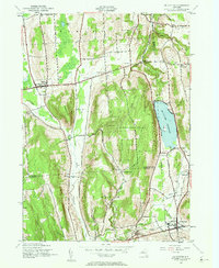
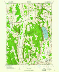
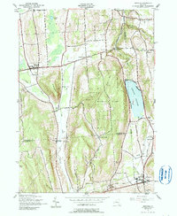
1943 Map of De Ruyter
USGS Topo · Published 1958About this map
The De Ruyter Reservoir dominates the eastern edge of this landscape, a significant water body situated between the heights of Arab Hill and the village of De Ruyter. Mapped during the early 1940s, the region reveals a rural economy organized around steep ridges and narrow valleys, where small settlements like Cowles Settlement and Vincent Corners persisted at the crossroads of early transport routes. The Lehigh Valley Railroad runs through the valley floor, connecting the agricultural communities of the south to the larger milling and shipping hubs north toward Delphi Falls.
Find a feature on this map
52 named features on this map. Tap any name to fly to it.
Don’t see what you’re looking for? This feature index may not catch every label — zoom into the map to look around manually.
Map Details
Editions of this 1943 De Ruyter Map
4 editions found
Other maps of this area

1897 · Cazenovia
USGS Topo · 1:62,500

1899 · Cazenovia
USGS Topo · 1:62,500

1900 · Tully
USGS Topo · 1:62,500

1903 · Cortland
USGS Topo · 1:62,500

1904 · Pitcher
USGS Topo · 1:62,500

1942 · Oran
USGS Topo · 1:24,000

1943 · Jamesville
USGS Topo · 1:31,680
1943 · Oran
USGS Topo · 1:31,680
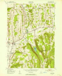
1943 · Tully
USGS Topo · 1:24,000
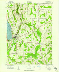
1943 · Cazenovia
USGS Topo · 1:24,000