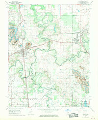
1968 Map of De Soto
USGS Topo · Published 1970About this map
The Big Muddy River and its tributary, the Little Muddy River, dominate this Southern Illinois landscape, winding through the borderlands of Jackson and Williamson counties. In the late 1960s, the area shows a distinct industrial and agricultural character, with the Illinois Central Railroad and Missouri Pacific Railroad intersecting near the coal-rich communities of Hurst and Bush. To the south, the terrain transitions into the protected wetlands and woods of the Crab Orchard National Wildlife Refuge, while the northern reaches include the Elkville Reservoir.
Find a feature on this map
43 named features on this map. Tap any name to fly to it.
Don’t see what you’re looking for? This feature index may not catch every label — zoom into the map to look around manually.
Map Details
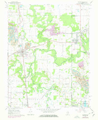
Editions of this 1968 De Soto Map
2 editions found
Other maps of this area

1910 · Herrin
USGS Topo · 1:62,500

1910 · Murphysboro
USGS Topo · 1:62,500

1922 · Carbondale
USGS Topo · 1:62,500

1924 · Alto Pass
USGS Topo · 1:62,500

1936 · Herrin
USGS Topo · 1:62,500

1938 · Murphysboro
USGS Topo · 1:62,500

1941 · Carbondale
USGS Topo · 1:62,500

1947 · Alto Pass
USGS Topo · 1:62,500
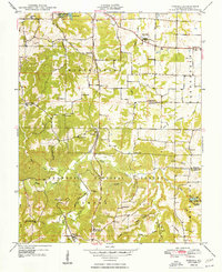
1948 · Pomona
USGS Topo · 1:24,000
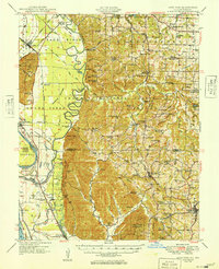
1949 · Alto Pass
USGS Topo · 1:62,500