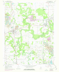
1968 Map of De Soto
USGS Topo · Published 1978About this map
The confluence of the Big Muddy River, Little Muddy River, and Crab Orchard Creek defines the landscape of northern Carbondale and its surroundings. During the late 1960s, this region was a critical junction for heavy rail, with the Illinois Central Railroad, Gulf Mobile and Ohio Railroad, and Missouri Pacific Railroad all traversing the territory to serve the local coal and transit economies. The settlement pattern shows industrial and residential nodes like Hurst, De Soto, and Bush, the latter of which features an area marked as abandoned by the late 1970s revision. Significant land use is dedicated to the Crab Orchard National Wildlife Refuge in the southeast, while numerous family and local cemeteries like Dillinger Cem and Indian Hill Cem provide essential touchstones for genealogical research in Jackson and Williamson counties.
Find a feature on this map
46 named features on this map. Tap any name to fly to it.
Don’t see what you’re looking for? This feature index may not catch every label — zoom into the map to look around manually.
Map Details
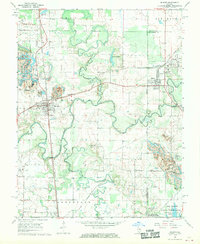
Editions of this 1968 De Soto Map
2 editions found
Other maps of this area

1910 · Herrin
USGS Topo · 1:62,500

1910 · Murphysboro
USGS Topo · 1:62,500

1922 · Carbondale
USGS Topo · 1:62,500

1924 · Alto Pass
USGS Topo · 1:62,500

1936 · Herrin
USGS Topo · 1:62,500

1938 · Murphysboro
USGS Topo · 1:62,500

1941 · Carbondale
USGS Topo · 1:62,500

1947 · Alto Pass
USGS Topo · 1:62,500
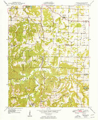
1948 · Pomona
USGS Topo · 1:24,000
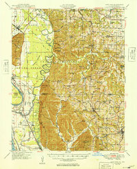
1949 · Alto Pass
USGS Topo · 1:62,500