1991 Map of De Soto
USGS Topo · Published 1996About this map
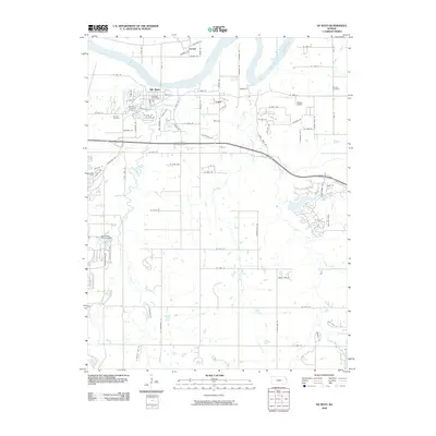
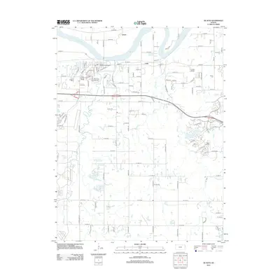
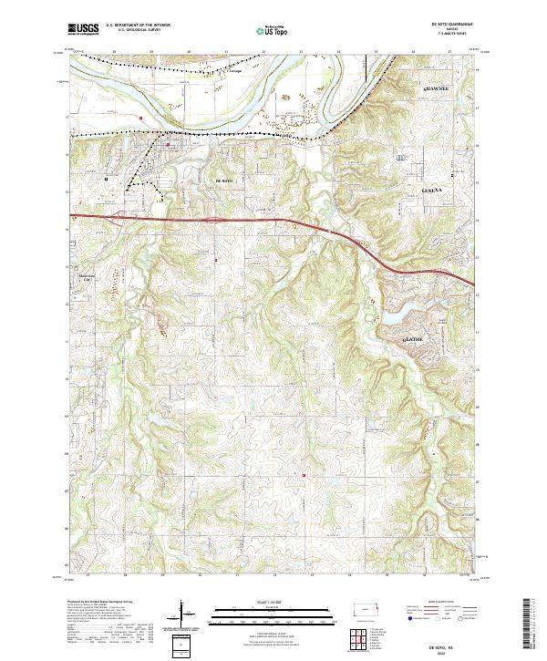
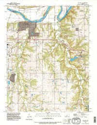
The Kansas River forms the northern boundary of this 1991 revision, where the levees protect the floodplain near the settlements of Lenape and De Soto. The landscape is defined by the significant industrial footprint of the Sunflower Ordnance Works in the west and the growing municipal boundaries of Olathe and Lenexa to the east. This era shows a community in transition, with a Landing Strip and Filtration Plant supporting local infrastructure alongside agricultural remnants like the Murphy Cem. The terrain is deeply dissected by a network of waterways including Cedar Creek, Kill Creek, and Spoon Creek, which dictate the placement of local roads and the expansive Lexington and Monticello townships. A small Gravel Pit and a designated Reservoir further illustrate the local management of natural resources as suburban Olathe begins to expand into the rural hills.
Find a feature on this map
30 named features on this map. Tap any name to fly to it.
Don’t see what you’re looking for? This feature index may not catch every label — zoom into the map to look around manually.
Map Details
Editions of this 1991 De Soto Map
This is the sole edition of this map. No revisions or reprints were ever made.
Historical Maps of Olathe Through Time
7 maps found