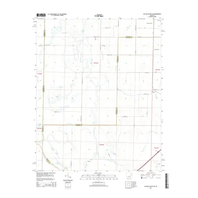
2014 Map of De Valls Bluff NE
USGS Topo · Published 2014About this map
The Cache River and Bayou De View dominate this low-lying landscape where Prairie, Woodruff, and Monroe counties converge. This interior delta region is defined by a complex network of wetlands and oxbow lakes, including Big Buck Lake, Little Buck Lake, and the elongated Long Lake. The drainage patterns, managed by Ditch Number 1 and Mud Slough, reveal the historical effort to reclaim these fertile bottomlands for agriculture. Small rural cemeteries such as Trice Cem and Ash Grove Cem serve as quiet landmarks of early settlement families, while local roads like Gin Rd and Mill Rd point to the cotton-based economy of the surrounding Arkansas plains. The map traces several bayous, including Robe Bayou and Gum Flat Bayou, which meander through the timbered reaches and agricultural grids typical of this eastern Arkansas river basin.
Find a feature on this map
46 named features on this map. Tap any name to fly to it.
Don’t see what you’re looking for? This feature index may not catch every label — zoom into the map to look around manually.
Map Details
Editions of this 2014 De Valls Bluff NE Map
This is the sole edition of this map. No revisions or reprints were ever made.
Other maps of this area

1935 · Gregory
USGS Topo · 1:62,500

1939 · Hunter
USGS Topo · 1:62,500

1940 · Brinkley
USGS Topo · 1:62,500

1941 · De Valls Bluff
USGS Topo · 1:62,500

1948 · Helena
USGS Topo · 1:250,000

1950 · Helena
USGS Topo · 1:250,000

1953 · Memphis
USGS Topo · 1:250,000

1955 · Helena
USGS Topo · 1:250,000

1956 · Memphis
USGS Topo · 1:250,000

1956 · Hunter
USGS Topo · 1:62,500