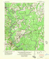
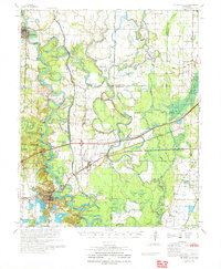
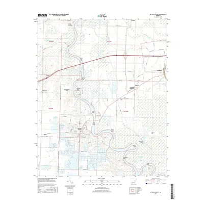
1941 Map of De Valls Bluff
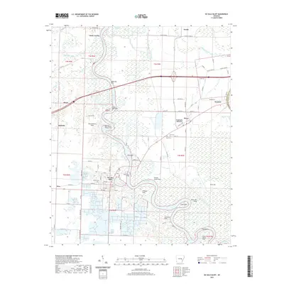
USGS Topo · Published 1954About this map
The White River and Cache River dominate this 1940s landscape, winding through a complex network of wetlands and oxbows in the Arkansas Delta. Centered on the town of De Valls Bluff, the map illustrates a region deeply connected to the timber industry and river transport, evidenced by the Chicago Mill & Lumber Co in the north and landings like Weeks Ldg along the riverbanks. The transportation corridor follows the Chicago Rock Island and Pacific railroad, which links the settlements of Biscoe and Brasfield across the marshy terrain.
Find a feature on this map
95 named features on this map. Tap any name to fly to it.
Don’t see what you’re looking for? This feature index may not catch every label — zoom into the map to look around manually.
Map Details
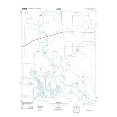
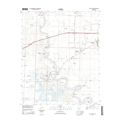
Editions of this 1941 De Valls Bluff Map
2 editions found
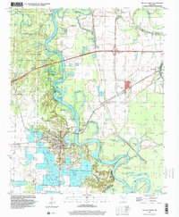
Historical Maps of Des Arc Through Time
10 maps found
1941 De Valls Bluff
Prairie County, AR
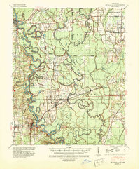
1957 De Valls Bluff
Prairie County, AR
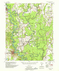
1968 De Valls Bluff
Prairie County, AR
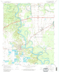
1971 De Valls Bluff
Prairie County, AR
1996 De Valls Bluff
Prairie County, AR
2011 De Valls Bluff
Prairie County, AR
2014 De Valls Bluff
Prairie County, AR
2017 De Valls Bluff
Prairie County, AR
2020 De Valls Bluff
Prairie County, AR
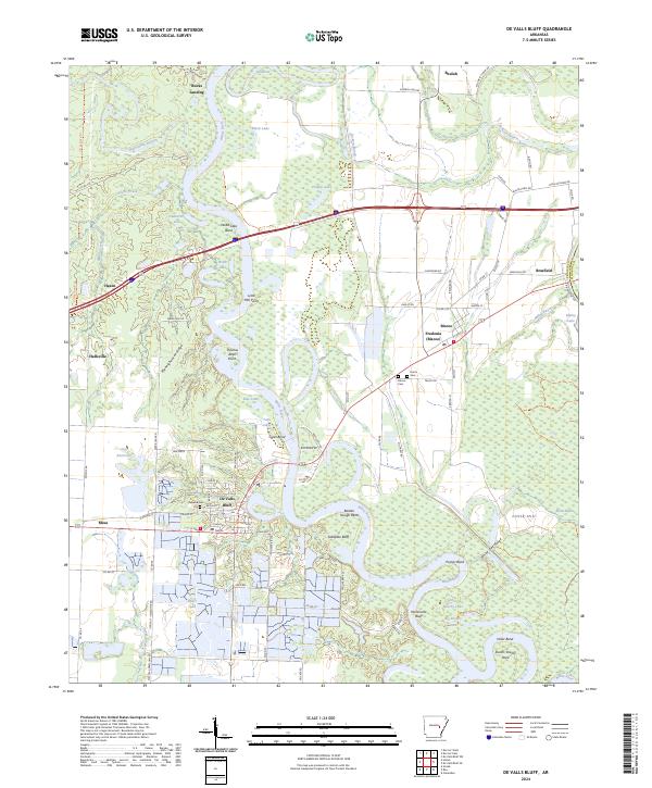
2024 De Valls Bluff
Prairie County, AR