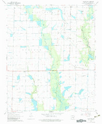
1968 Map of De Witt SW
USGS Topo · Published 1983About this map
The agricultural wetlands of Arkansas County are defined by a complex network of waterways, including the prominent Bayou Meto and Mill Bayou. In the late 1960s, the landscape was a patchwork of irrigation flumes and wells supporting the region's rice and soybean production. Small rural centers and rail sidings like Kittlers, Olena, and Burks provided essential links to the St Louis Southwestern railroad, which bisects the eastern portion of the map.
Find a feature on this map
17 named features on this map. Tap any name to fly to it.
Don’t see what you’re looking for? This feature index may not catch every label — zoom into the map to look around manually.
Map Details
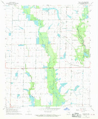
Editions of this 1968 De Witt SW Map
2 editions found
Other maps of this area

1935 · Varner
USGS Topo · 1:62,500

1935 · Gillett
USGS Topo · 1:62,500

1941 · De Witt
USGS Topo · 1:62,500

1941 · Goldman
USGS Topo · 1:62,500

1948 · Helena
USGS Topo · 1:250,000

1950 · Helena
USGS Topo · 1:250,000

1954 · De Witt
USGS Topo · 1:62,500

1955 · Helena
USGS Topo · 1:250,000

1959 · Helena
USGS Topo · 1:250,000

1960 · Helena
USGS Topo · 1:250,000