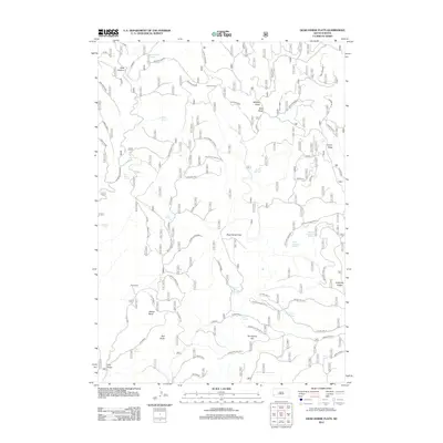
2012 Map of Dead Horse Flats
USGS Topo · Published 2012About this map
Wilson Ranch and Pitts Ranch anchor this 2012 survey of Pennington County, South Dakota. This high-plateau landscape is defined by its numerous watering points, including Dead Horse Spring, Tepee Spring, and the clustered sources at The Seeps. These vital water features are scattered across distinct topographic formations like Dead Horse Flats and Five Loads Flat, illustrating the essential resource management required for ranching in this environment. Significant divides and ridges, such as Wilson Ridge and Cooper Ridge, partition the land into deep draws like Wildcat Draw and Wolf Draw. The road network follows these natural landforms, utilizing routes like Wilson Divide and the Gillette Divide Cut-Off to navigate between prominent landmarks including Yellow Butte and Red Butte.
Find a feature on this map
48 named features on this map. Tap any name to fly to it.
Don’t see what you’re looking for? This feature index may not catch every label — zoom into the map to look around manually.
Map Details
Editions of this 2012 Dead Horse Flats Map
This is the sole edition of this map. No revisions or reprints were ever made.
Other maps of this area

1896 · Harney Peak
USGS Topo · 1:125,000

1899 · Newcastle
USGS Topo · 1:125,000

1901 · Harney Peak
USGS Topo · 1:125,000

1901 · Newcastle
USGS Topo · 1:125,000

1951 · Fanny Peak
USGS Topo · 1:24,000

1951 · Clifton
USGS Topo · 1:24,000

1955 · Dead Horse Flats
USGS Topo · 1:24,000

1955 · Jewel Cave NW
USGS Topo · 1:24,000

1955 · Jewel Cave
USGS Topo · 1:24,000

1955 · Signal Hill
USGS Topo · 1:24,000