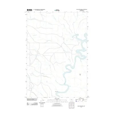
2011 Map of Dead Indian Hill
USGS Topo · Published 2011About this map
Bighorn Canyon Natl Rec Area anchors the landscape of this Carbon County quadrangle, where the sharp transition from the High Plains to deep canyon country is vividly defined. The Bighorn River carves a winding course through the eastern portion of the sheet, widening into Bighorn Lake as it flows between steep embankments. This 2011 survey captures a sparsely populated region defined by its complex drainage network, where seasonal waterways like Dry Head Creek and Templeton Creek feed the larger river system. Significant topographical landmarks such as Dead Indian Hill and Petes Canyon illustrate the isolation and natural scale of the terrain. Essential water sources for early ranching and travelers, including Annerer Spring and Petes Spring, are documented here, providing a window into the natural hydrology of this corner of Montana before modern development.
Find a feature on this map
14 named features on this map. Tap any name to fly to it.
Don’t see what you’re looking for? This feature index may not catch every label — zoom into the map to look around manually.
Map Details
Editions of this 2011 Dead Indian Hill Map
This is the sole edition of this map. No revisions or reprints were ever made.
Other maps of this area

1954 · Billings
USGS Topo · 1:250,000

1957 · Billings
USGS Topo · 1:250,000

1958 · Billings
USGS Topo · 1:250,000

1964 · Two Point
USGS Topo · 1:24,000
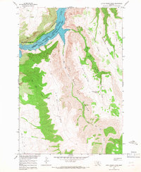
1964 · Little Finger Ridge
USGS Topo · 1:24,000
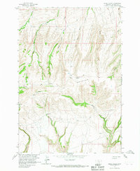
1964 · Horse Coulee
USGS Topo · 1:24,000
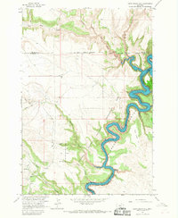
1964 · Dead Indian Hill
USGS Topo · 1:24,000
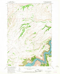
1964 · Grapevine Dome
USGS Topo · 1:24,000

1964 · East Pryor Mountain
USGS Topo · 1:24,000
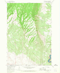
1964 · Mystery Cave
USGS Topo · 1:24,000