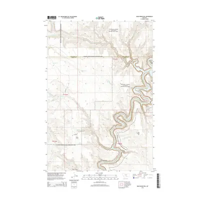
2014 Map of Dead Indian Hill
USGS Topo · Published 2014About this map
Annerer Spring Grave sits as a solitary historical marker near Petes Canyon in this portion of the Montana backcountry. The landscape is defined by the sharp verticality of Bighorn Canyon, where the waters of Bighorn Lake fill the deep basin along the Carbon County border. This area within the Bighorn Canyon National Recreation Area shows a rugged network of drainages including Templeton Cr and Deadman Cr carving through high plateaus. The presence of Annerer Spring and Petes Spring suggests vital water points in an otherwise arid terrain, while the historic Bad Pass Rd traces a route near the western canyon rim, indicating long-standing transit paths through the region.
Find a feature on this map
25 named features on this map. Tap any name to fly to it.
Don’t see what you’re looking for? This feature index may not catch every label — zoom into the map to look around manually.
Map Details
Editions of this 2014 Dead Indian Hill Map
This is the sole edition of this map. No revisions or reprints were ever made.
Other maps of this area

1954 · Billings
USGS Topo · 1:250,000

1957 · Billings
USGS Topo · 1:250,000

1958 · Billings
USGS Topo · 1:250,000

1964 · Two Point
USGS Topo · 1:24,000
1964 · Little Finger Ridge
USGS Topo · 1:24,000
1964 · Horse Coulee
USGS Topo · 1:24,000
1964 · Dead Indian Hill
USGS Topo · 1:24,000
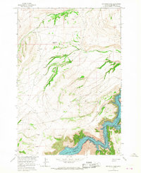
1964 · Grapevine Dome
USGS Topo · 1:24,000

1964 · East Pryor Mountain
USGS Topo · 1:24,000
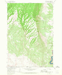
1964 · Mystery Cave
USGS Topo · 1:24,000