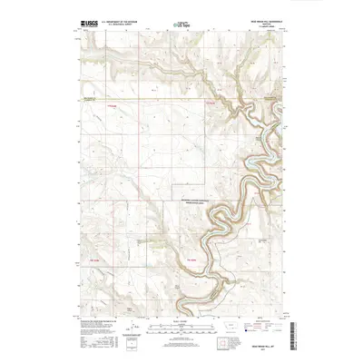
2017 Map of Dead Indian Hill
USGS Topo · Published 2017About this map
Bighorn Canyon National Recreation Area dominates the eastern half of this survey, where the Bighorn River carves a deep path through the Montana landscape. This territory, spanning the border between Carbon and Big Horn counties, reflects a transition from high plateau terrain to the river's winding corridor. A notable point of genealogical and local historical interest is the Annerer Spring Grave, located near Annerer Spring and just west of the canyon rim. Transport through this often difficult terrain is facilitated by Bad Pass Rd and Dryhead Road, which follow natural routes past features like Petes Canyon and Wassin Canyon. The map identifies various springs and cattle-related locations such as Lockhart Ranch and South Pasture, highlighting the area's continued use for ranching alongside its protected federal status.
Find a feature on this map
54 named features on this map. Tap any name to fly to it.
Don’t see what you’re looking for? This feature index may not catch every label — zoom into the map to look around manually.
Map Details
Editions of this 2017 Dead Indian Hill Map
This is the sole edition of this map. No revisions or reprints were ever made.
Other maps of this area

1954 · Billings
USGS Topo · 1:250,000

1957 · Billings
USGS Topo · 1:250,000

1958 · Billings
USGS Topo · 1:250,000

1964 · Two Point
USGS Topo · 1:24,000
1964 · Little Finger Ridge
USGS Topo · 1:24,000
1964 · Horse Coulee
USGS Topo · 1:24,000
1964 · Dead Indian Hill
USGS Topo · 1:24,000
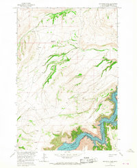
1964 · Grapevine Dome
USGS Topo · 1:24,000

1964 · East Pryor Mountain
USGS Topo · 1:24,000
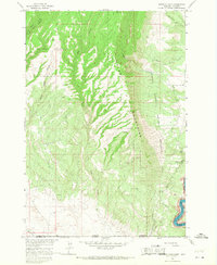
1964 · Mystery Cave
USGS Topo · 1:24,000