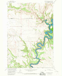
1964 Map of Dead Indian Hill
USGS Topo · Published 1968About this map
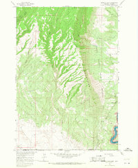
Bighorn Canyon dominates this 1964 survey, capturing the dramatic landscape of south-central Montana shortly after the impoundment of the Yellowtail Reservoir. The map illustrates a transitional period for the Bighorn Canyon National Recreation Area, where the rising waters of the Bighorn River wind through steep limestone corridors. To the west, the Crow Indian Reservation Boundary separates the canyon floor from the high, arid plateaus marked by significant local landmarks such as Dead Indian Hill.
Find a feature on this map
24 named features on this map. Tap any name to fly to it.
Don’t see what you’re looking for? This feature index may not catch every label — zoom into the map to look around manually.
Map Details
Editions of this 1964 Dead Indian Hill Map
This is the sole edition of this map. No revisions or reprints were ever made.
Other maps of this area

1954 · Billings
USGS Topo · 1:250,000

1957 · Billings
USGS Topo · 1:250,000

1958 · Billings
USGS Topo · 1:250,000

1964 · Two Point
USGS Topo · 1:24,000
1964 · Little Finger Ridge
USGS Topo · 1:24,000
1964 · Horse Coulee
USGS Topo · 1:24,000
1964 · Grapevine Dome
USGS Topo · 1:24,000

1964 · East Pryor Mountain
USGS Topo · 1:24,000
1964 · Mystery Cave
USGS Topo · 1:24,000
1964 · Hillsboro
USGS Topo · 1:24,000