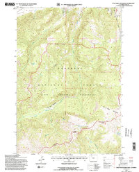
1991 Map of Dead Indian Meadows
USGS Topo · Published 1997About this map
North Absaroka Wilderness and the Shoshone National Forest dominate this high-elevation landscape in Park County. The terrain is defined by a dense network of drainages, including Dead Indian Creek, Morning Creek, and Rattlesnake Creek, which carve through the mountains toward the Dead Indian Meadows. The eastern boundary is marked by the Joseph Scenic Highway as it climbs toward Dead Indian Pass, a critical transition point overlooking the wilderness.
Find a feature on this map
24 named features on this map. Tap any name to fly to it.
Don’t see what you’re looking for? This feature index may not catch every label — zoom into the map to look around manually.
Map Details
Editions of this 1991 Dead Indian Meadows Map
2 editions found
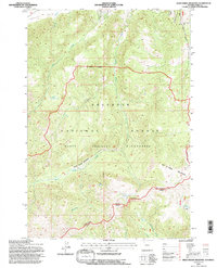
Other maps of this area

1896 · Crandall Creek
USGS Topo · 1:125,000

1899 · Crandall
USGS Topo · 1:125,000

1949 · Pat O'Hara Mountain
USGS Topo · 1:62,500

1950 · Deep Lake
USGS Topo · 1:62,500

1955 · Cody
USGS Topo · 1:250,000

1956 · Beartooth Butte
USGS Topo · 1:62,500

1956 · Dead Indian Peak
USGS Topo · 1:62,500

1958 · Cody
USGS Topo · 1:250,000

1962 · Cody
USGS Topo · 1:250,000

1980 · Cody
USGS Topo · 1:100,000