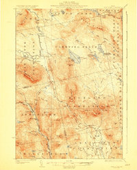
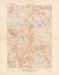
1928 Map of Dead River
USGS Topo · Published 1928About this map
The Dead River basin and the surrounding plantations of Somerset County are documented here during the mid-1920s, showing a landscape defined by logging, remote camps, and small agricultural clearings. The map detail highlights the importance of the portage routes through Carrying Place Plantation, where travelers moved between Pierce Pond and the river. Settlement patterns are sparse, represented by isolated landmarks such as Joe Farm, Spring Farm, and the settlement at Dead River, which features its own Dead River School.
Find a feature on this map
81 named features on this map. Tap any name to fly to it.
Don’t see what you’re looking for? This feature index may not catch every label — zoom into the map to look around manually.
Map Details
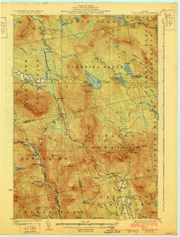
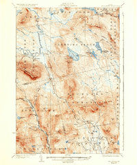
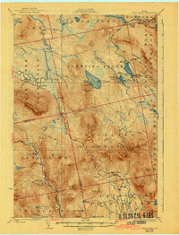
Editions of this 1928 Dead River Map
6 editions found
Other maps of this area

1903 · Bingham
USGS Topo · 1:62,500

1904 · Anson
USGS Topo · 1:62,500

1905 · Bingham
USGS Topo · 1:62,500

1905 · The Forks
USGS Topo · 1:62,500

1907 · The Forks
USGS Topo · 1:62,500

1925 · Pierce Pond
USGS Topo · 1:48,000

1927 · Pierce Pond
USGS Topo · 1:62,500

1928 · Spencer
USGS Topo · 1:48,000

1928 · Dead River
USGS Topo · 1:62,500

1928 · Stratton
USGS Topo · 1:48,000
Featured Places
- Kingfield, ME
- Carrabassett Valley, ME
- Pleasant Ridge Plantation, ME
- Caratunk, ME
- Highland Plantation, ME