
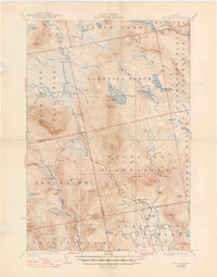
1928 Map of Dead River
USGS Topo · Published 1928About this map
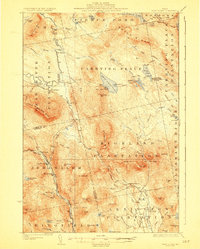
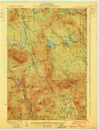
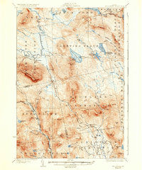
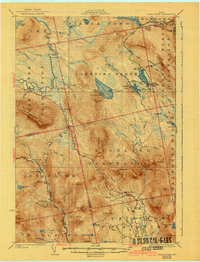
Carrying Place Trail cuts through the heart of this Maine landscape, following a legacy of travel between the Dead River and the Kennebec valley. This mid-1920s survey depicts the transition from remote wilderness to organized townships like Highland Plantation and Carrying Place Plantation. The economy is marked by isolated homesteads and seasonal camps, such as Joe Farm, Spring Farm, and the West Carry Camps on the shore of West Carry Pond. Education in these remote reaches is represented by small outposts like Dead River School and Highland School.
Find a feature on this map
83 named features on this map. Tap any name to fly to it.
Don’t see what you’re looking for? This feature index may not catch every label — zoom into the map to look around manually.
Map Details
Editions of this 1928 Dead River Map
6 editions found
Other maps of this area

1903 · Bingham
USGS Topo · 1:62,500

1904 · Anson
USGS Topo · 1:62,500

1905 · Bingham
USGS Topo · 1:62,500

1905 · The Forks
USGS Topo · 1:62,500

1907 · The Forks
USGS Topo · 1:62,500

1925 · Pierce Pond
USGS Topo · 1:48,000

1927 · Pierce Pond
USGS Topo · 1:62,500

1928 · Spencer
USGS Topo · 1:48,000

1928 · Stratton
USGS Topo · 1:48,000

1929 · Phillips
USGS Topo · 1:48,000
Featured Places
- Kingfield, ME
- Carrabassett Valley, ME
- Pleasant Ridge Plantation, ME
- Caratunk, ME
- Highland Plantation, ME