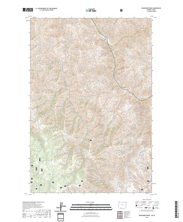
2024 Map of Deadhorse Ridge
USGS Topo · Published 2024About this map
Wallowa National Forest dominates this landscape where the borders of Oregon and Idaho meet at the confluence of several major canyon systems. The terrain is defined by dramatic elevation changes between high points like Deadhorse Butte and the deep river valleys below. Navigation through this wilderness relies on a network of established paths, including the Cemetery Trl, Old Man Creek Trl, and Eureka Creek Trl. Along the eastern edge, the Snake Wild and Scenic River carves a path through the canyon, punctuated by challenging water features such as Mountain Sheep Rapids and Bear Creek Rapids. Small riverside landmarks like Salmon Bar Airport and Eureka Bar serve as isolated points of access in a region primarily shaped by the Imnaha Wild and Scenic River and the high, windswept reaches of Wapshilla Ridge.
Find a feature on this map
50 named features on this map. Tap any name to fly to it.
Don’t see what you’re looking for? This feature index may not catch every label — zoom into the map to look around manually.
Map Details
Editions of this 2024 Deadhorse Ridge Map
This is the sole edition of this map. No revisions or reprints were ever made.
Other maps of this area

1954 · Imnaha
USGS Topo · 1:62,500

1954 · Kernan Point
USGS Topo · 1:62,500

1955 · Grangeville
USGS Topo · 1:250,000

1959 · Grangeville
USGS Topo · 1:250,000

1963 · Cactus Mtn
USGS Topo · 1:24,000

1963 · Deadhorse Ridge
USGS Topo · 1:24,000

1963 · Jim Creek Butte
USGS Topo · 1:24,000

1963 · Rattlesnake Ridge
USGS Topo · 1:24,000

1963 · Wapshilla Creek
USGS Topo · 1:24,000

1963 · Poison Point
USGS Topo · 1:24,000