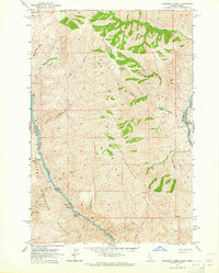
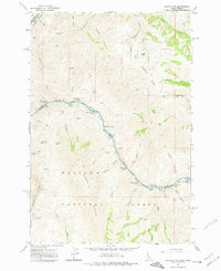
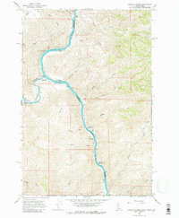
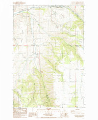
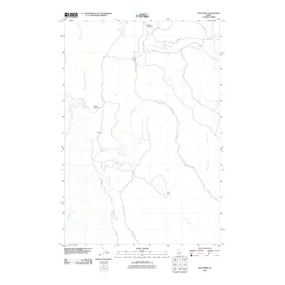
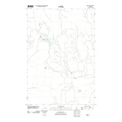
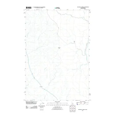
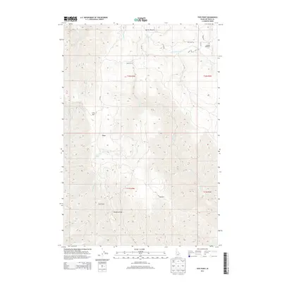
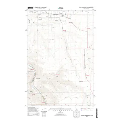
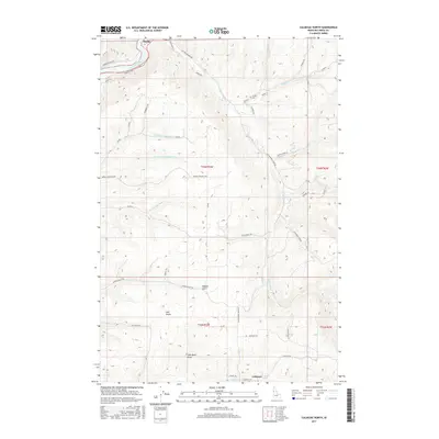
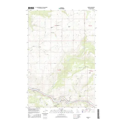
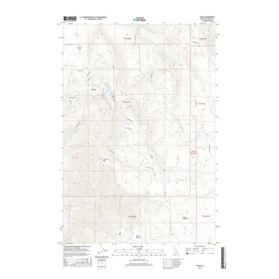
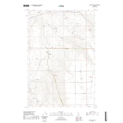
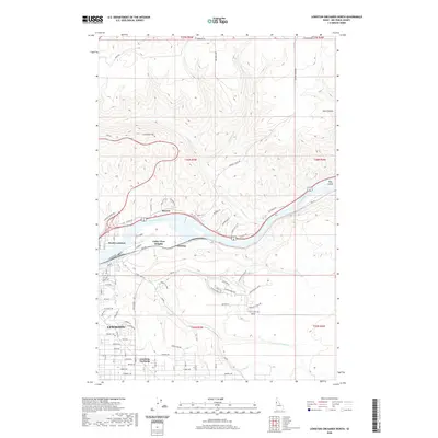
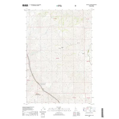
1963 Map of Wapshilla Creek
USGS Topo · Published 1965About this map
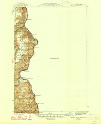
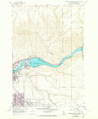
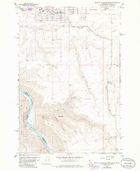
The Craig Mountains dominate this 1963 survey of the remote borderlands where Idaho meets Oregon. The terrain is defined by the deep canyons of the Snake River and the Salmon River, which converge near the eastern edge of the Wallowa National Forest. Navigational hazards like Wapshilla Rapids and Frenchy Rapids mark the river corridors, while small riverbank landing spots such as Geneva Bar provide rare level ground in this vertical landscape.
Find a feature on this map
40 named features on this map. Tap any name to fly to it.
Don’t see what you’re looking for? This feature index may not catch every label — zoom into the map to look around manually.
Map Details
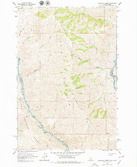
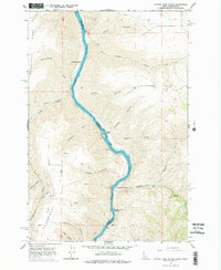
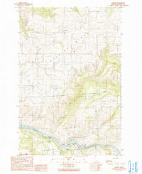
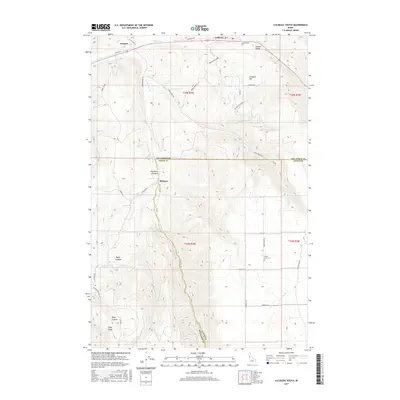
Editions of this 1963 Wapshilla Creek Map
2 editions found
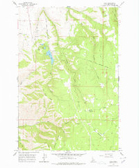
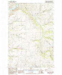
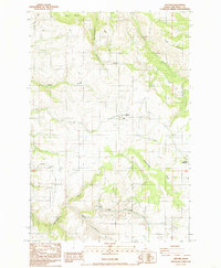
Historical Maps of Nez Perce County Through Time
69 maps found
1946 Limekiln Rapids
Nez Perce County, ID

1958 Lewiston Orchards
Nez Perce County, ID
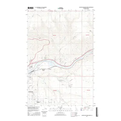
1958 Lewiston Orchards North
Nez Perce County, ID
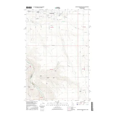
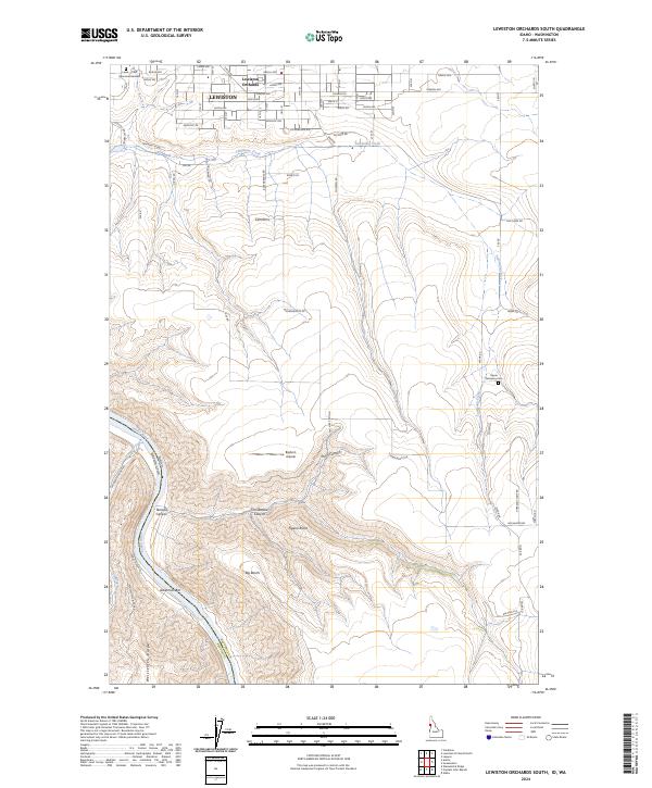
1958 Lewiston Orchards South
Nez Perce County, ID
1963 Cactus Mtn
Nez Perce County, ID
1963 Wapshilla Creek
Nez Perce County, ID
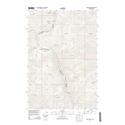
1968 Captain John Rapids
Nez Perce County, ID
1968 Frye Point
Nez Perce County, ID
1968 Limekiln Rapids
Nez Perce County, ID
1968 Waha
Nez Perce County, ID
1984 Culdesac North
Nez Perce County, ID
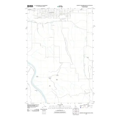
1984 Gifford
Nez Perce County, ID
1985 Culdesac South
Nez Perce County, ID
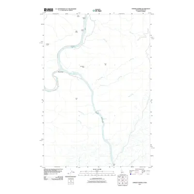
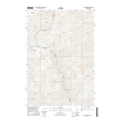
1990 Lenore
Nez Perce County, ID
2010 Culdesac North
Nez Perce County, ID
2010 Culdesac South
Nez Perce County, ID
2010 Frye Point
Nez Perce County, ID
2010 Gifford
Nez Perce County, ID
2010 Lenore
Nez Perce County, ID
2010 Lewiston Orchards North
Nez Perce County, ID
2010 Waha
Nez Perce County, ID
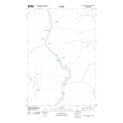
2011 Captain John Rapids
Nez Perce County, ID
2011 Lewiston Orchards South
Nez Perce County, ID
2011 Limekiln Rapids
Nez Perce County, ID
2011 Wapshilla Creek
Nez Perce County, ID
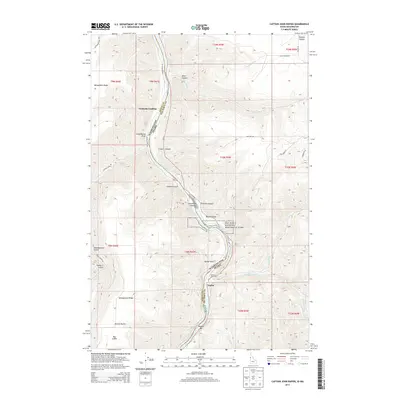
2013 Captain John Rapids
Nez Perce County, ID
2013 Culdesac North
Nez Perce County, ID
2013 Culdesac South
Nez Perce County, ID
2013 Frye Point
Nez Perce County, ID
2013 Gifford
Nez Perce County, ID
2013 Lenore
Nez Perce County, ID
2013 Lewiston Orchards North
Nez Perce County, ID
2013 Lewiston Orchards South
Nez Perce County, ID
2013 Limekiln Rapids
Nez Perce County, ID

2013 Waha
Nez Perce County, ID
2013 Wapshilla Creek
Nez Perce County, ID
2017 Captain John Rapids
Nez Perce County, ID
2017 Culdesac North
Nez Perce County, ID
2017 Culdesac South
Nez Perce County, ID
2017 Frye Point
Nez Perce County, ID
2017 Gifford
Nez Perce County, ID
2017 Lenore
Nez Perce County, ID
2017 Lewiston Orchards North
Nez Perce County, ID
2017 Lewiston Orchards South
Nez Perce County, ID
2017 Limekiln Rapids
Nez Perce County, ID
2017 Waha
Nez Perce County, ID
2017 Wapshilla Creek
Nez Perce County, ID
2020 Captain John Rapids
Nez Perce County, ID
2020 Culdesac North
Nez Perce County, ID
2020 Culdesac South
Nez Perce County, ID
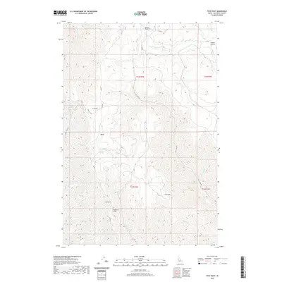
2020 Frye Point
Nez Perce County, ID
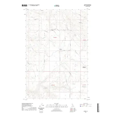
2020 Gifford
Nez Perce County, ID
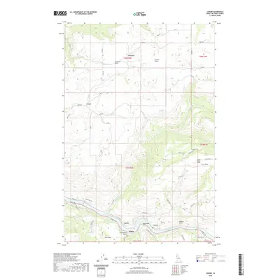
2020 Lenore
Nez Perce County, ID
2020 Lewiston Orchards North
Nez Perce County, ID
2020 Lewiston Orchards South
Nez Perce County, ID
2020 Limekiln Rapids
Nez Perce County, ID
2020 Waha
Nez Perce County, ID
2020 Wapshilla Creek
Nez Perce County, ID
2024 Captain John Rapids
Nez Perce County, ID
2024 Culdesac North
Nez Perce County, ID
2024 Culdesac South
Nez Perce County, ID
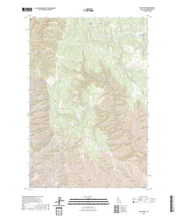
2024 Frye Point
Nez Perce County, ID
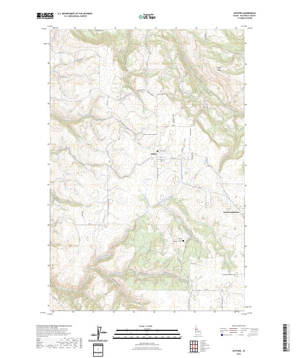
2024 Gifford
Nez Perce County, ID
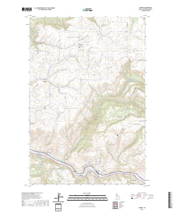
2024 Lenore
Nez Perce County, ID
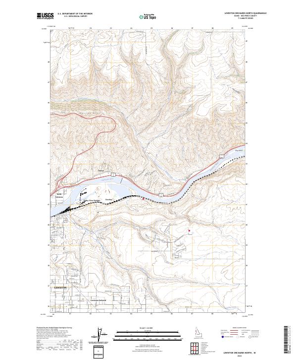
2024 Lewiston Orchards North
Nez Perce County, ID
2024 Lewiston Orchards South
Nez Perce County, ID
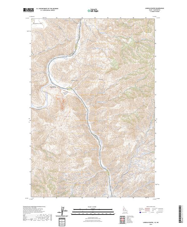
2024 Limekiln Rapids
Nez Perce County, ID
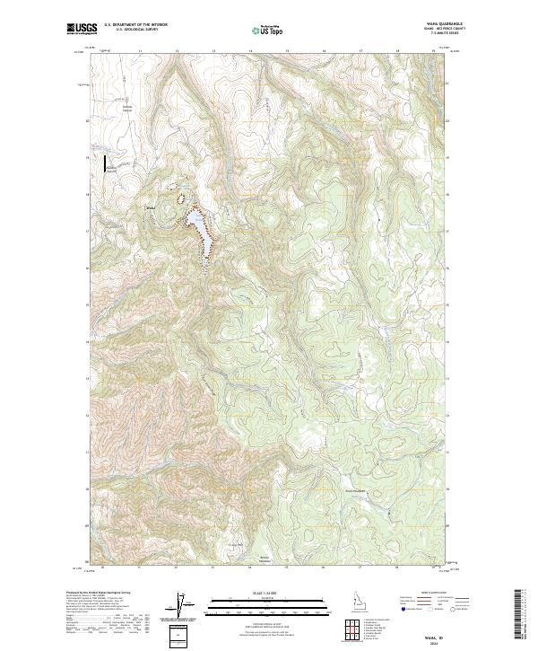
2024 Waha
Nez Perce County, ID
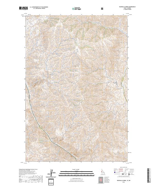
2024 Wapshilla Creek
Nez Perce County, ID