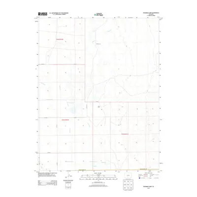
2013 Map of Deadman Camp
USGS Topo · Published 2013About this map
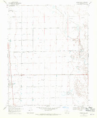
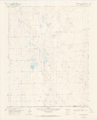
Deadman Camp sits at the northern end of an intricate water-management landscape in the San Luis Valley, where natural watercourses like Deadman Cr intersect with an extensive system of human-engineered irrigation. This 2013 survey reveals the methodical subdivision of the high desert terrain, marked by a rigid grid of county roads such as CO Road G and CO Road E. The southern portion of the map is defined by the convergence of several major water features, including San Luis Cr and the Farmers Union Canal. To the west, the Gibson Ditch and the N Central Lateral further illustrate the historical reliance on complex irrigation to sustain the White Ranch and surrounding agricultural tracts. This map provides a detailed view of how water rights and land use are etched into the Saguache and Alamosa County borders.
Find a feature on this map
18 named features on this map. Tap any name to fly to it.
Don’t see what you’re looking for? This feature index may not catch every label — zoom into the map to look around manually.
Map Details
Editions of this 2013 Deadman Camp Map
This is the sole edition of this map. No revisions or reprints were ever made.
Other maps of this area

1954 · Trinidad
USGS Topo · 1:250,000

1955 · Trinidad
USGS Topo · 1:250,000

1958 · Trinidad
USGS Topo · 1:250,000

1959 · Trinidad
USGS Topo · 1:250,000

1965 · Medano Ranch
USGS Topo · 1:24,000
1967 · Crestone
USGS Topo · 1:24,000
1967 · Sheds Camp
USGS Topo · 1:24,000
1967 · Sand Camp
USGS Topo · 1:24,000
1968 · Hooper East
USGS Topo · 1:24,000
1968 · Deadman Camp
USGS Topo · 1:24,000