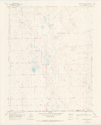
1968 Map of Deadman Camp
USGS Topo · Published 1970About this map
The Luis Maria Baca No 4 land grant dominates this high-altitude landscape in the San Luis Valley during the late 1960s. This specific region is defined by a complex network of water management, where the San Luis Creek and Deadman Creek are augmented by extensive human-engineered irrigation systems. The presence of the Farmers Union Canal, Gibson Ditch, and several laterals like the North Central Lateral illustrate the vital importance of water rights and agricultural engineering in this arid Colorado terrain.
Find a feature on this map
16 named features on this map. Tap any name to fly to it.
Don’t see what you’re looking for? This feature index may not catch every label — zoom into the map to look around manually.
Map Details
Editions of this 1968 Deadman Camp Map
2 editions found
Other maps of this area

1954 · Trinidad
USGS Topo · 1:250,000

1955 · Trinidad
USGS Topo · 1:250,000

1958 · Trinidad
USGS Topo · 1:250,000

1959 · Trinidad
USGS Topo · 1:250,000

1965 · Medano Ranch
USGS Topo · 1:24,000
1967 · Crestone
USGS Topo · 1:24,000
1967 · Sheds Camp
USGS Topo · 1:24,000
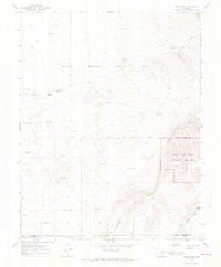
1967 · Sand Camp
USGS Topo · 1:24,000
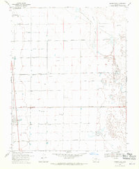
1968 · Hooper East
USGS Topo · 1:24,000
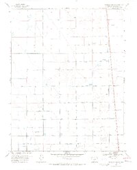
1968 · Deadman Camp SW
USGS Topo · 1:24,000