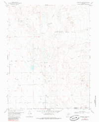
1968 Map of Deadman Camp
USGS Topo · Published 1985About this map
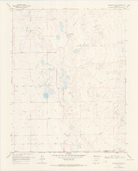
The Luis Maria Baca No 4 land grant dominates this portion of the San Luis Valley, a landscape defined by an intricate network of water management features designed for high-altitude agriculture. The map details the convergence of Saguache Cr, San Luis Creek, and Deadman Creek, where the natural flow is diverted into man-made systems like the Farmers Union Canal and the Gibson North Central Lateral Ditch. This hydraulic infrastructure supported isolated ranching outposts such as White Ranch and the eponymous Deadman Camp.
Find a feature on this map
13 named features on this map. Tap any name to fly to it.
Don’t see what you’re looking for? This feature index may not catch every label — zoom into the map to look around manually.
Map Details
Editions of this 1968 Deadman Camp Map
2 editions found
Other maps of this area

1954 · Trinidad
USGS Topo · 1:250,000

1955 · Trinidad
USGS Topo · 1:250,000

1958 · Trinidad
USGS Topo · 1:250,000

1959 · Trinidad
USGS Topo · 1:250,000

1965 · Medano Ranch
USGS Topo · 1:24,000
1967 · Crestone
USGS Topo · 1:24,000
1967 · Sheds Camp
USGS Topo · 1:24,000
1967 · Sand Camp
USGS Topo · 1:24,000
1968 · Hooper East
USGS Topo · 1:24,000
1968 · Deadman Camp
USGS Topo · 1:24,000