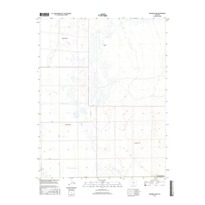
2016 Map of Deadman Camp
USGS Topo · Published 2016About this map
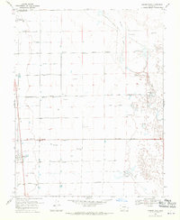
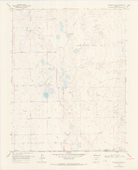
San Luis Cr and Deadman Cr meander through this landscape in the northern San Luis Valley, marking a region defined by intricate water management. The presence of the Farmers Union Canal, the Gibson Ditch, and the N Central Lateral illustrates a sophisticated irrigation network designed to support agricultural efforts in an arid high-altitude environment. At the center of this hydrology sits Deadman Camp, a localized settlement point within the vast public land survey grid of t42n r10e and t41n r11e. The map also captures the political boundary where Saguache Co meets Alamosa Co, providing a clear view of the rural road system, including routes like Co RD G and Co RD 64 7/10, which tie these remote camp and water features together.
Find a feature on this map
18 named features on this map. Tap any name to fly to it.
Don’t see what you’re looking for? This feature index may not catch every label — zoom into the map to look around manually.
Map Details
Editions of this 2016 Deadman Camp Map
This is the sole edition of this map. No revisions or reprints were ever made.
Other maps of this area

1954 · Trinidad
USGS Topo · 1:250,000

1955 · Trinidad
USGS Topo · 1:250,000

1958 · Trinidad
USGS Topo · 1:250,000

1959 · Trinidad
USGS Topo · 1:250,000

1965 · Medano Ranch
USGS Topo · 1:24,000
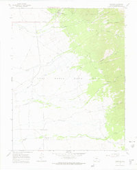
1967 · Crestone
USGS Topo · 1:24,000
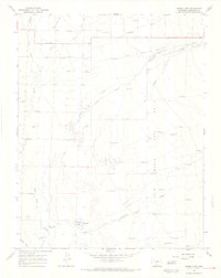
1967 · Sheds Camp
USGS Topo · 1:24,000
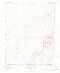
1967 · Sand Camp
USGS Topo · 1:24,000
1968 · Hooper East
USGS Topo · 1:24,000
1968 · Deadman Camp
USGS Topo · 1:24,000