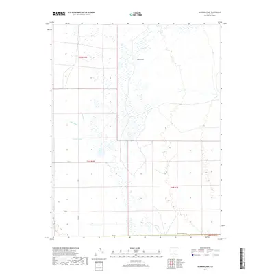
2019 Map of Deadman Camp
USGS Topo · Published 2019About this map
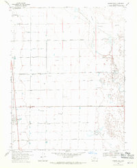
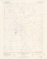
Deadman Camp sits at the heart of this high-altitude drainage basin, marking a landscape defined by complex water management and the northern border of Alamosa County. The hydrology here is a mix of natural wandering streams and human-engineered irrigation, with Deadman Cr and San Luis Cr coursing through the wetlands. The presence of the Gibson Ditch, N Central Lateral, and the Farmers Union Canal reveals the critical importance of water rights and agricultural infrastructure in the San Luis Valley. This survey captures a transition point near the Saguache Co line, where the flat valley floor meets the intricate network of county roads like Co RD G and Co RD E that divide the terrain into precise townships and sections for land management.
Find a feature on this map
19 named features on this map. Tap any name to fly to it.
Don’t see what you’re looking for? This feature index may not catch every label — zoom into the map to look around manually.
Map Details
Editions of this 2019 Deadman Camp Map
This is the sole edition of this map. No revisions or reprints were ever made.
Other maps of this area

1954 · Trinidad
USGS Topo · 1:250,000

1955 · Trinidad
USGS Topo · 1:250,000

1958 · Trinidad
USGS Topo · 1:250,000

1959 · Trinidad
USGS Topo · 1:250,000

1965 · Medano Ranch
USGS Topo · 1:24,000
1967 · Crestone
USGS Topo · 1:24,000
1967 · Sheds Camp
USGS Topo · 1:24,000
1967 · Sand Camp
USGS Topo · 1:24,000
1968 · Hooper East
USGS Topo · 1:24,000
1968 · Deadman Camp
USGS Topo · 1:24,000