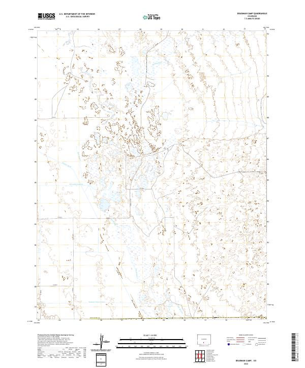
2022 Map of Deadman Camp
USGS Topo · Published 2022About this map
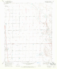
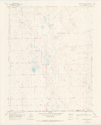
San Luis Cr winds through this section of Saguache County, defining a landscape shaped by water management in the San Luis Valley. The intricate network of irrigation, including the Farmers Union Canal, Gibson Ditch, and N Central Lateral, reveals the area's agricultural foundations and the complex engineering required to divert mountain runoff to the valley floor. To the north, Deadman Cr cuts across the terrain, contributing to the drainage system that supports this high-altitude basin. The map illustrates a structured grid of county roads, such as Co Rd G and Co Rd E, which provide access to the remote township sections. This 2022 survey captures the persistent reliance on historic water rights and canal systems that remain vital to the region's ranching and farming identity.
Find a feature on this map
17 named features on this map. Tap any name to fly to it.
Don’t see what you’re looking for? This feature index may not catch every label — zoom into the map to look around manually.
Map Details
Editions of this 2022 Deadman Camp Map
This is the sole edition of this map. No revisions or reprints were ever made.
Other maps of this area

1954 · Trinidad
USGS Topo · 1:250,000

1955 · Trinidad
USGS Topo · 1:250,000

1958 · Trinidad
USGS Topo · 1:250,000

1959 · Trinidad
USGS Topo · 1:250,000

1965 · Medano Ranch
USGS Topo · 1:24,000
1967 · Crestone
USGS Topo · 1:24,000
1967 · Sheds Camp
USGS Topo · 1:24,000
1967 · Sand Camp
USGS Topo · 1:24,000
1968 · Hooper East
USGS Topo · 1:24,000
1968 · Deadman Camp
USGS Topo · 1:24,000