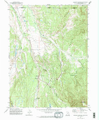
1972 Map of Deadman Mountain
USGS Topo · Published 1974About this map
The Bear River drainage and the surrounding mountain terrain of the High Uintas dominate this 1970s survey. This high-country landscape is defined by its water management and recreation history, featuring the elaborate Hilliard East Fork Canal, Hilliard Canal, and Hovarka Canal systems that diverted water across the rugged topography. Human presence is centered on ranching and seasonal forest management, evidenced by the Burts-Miller Ranch, Island Ranch, and the Bear River Ranger Sta. The area's mid-century utility as a mountain getaway is visible through the Hill Air Force Base Recreation Camp and established campgrounds like East Fork Campground. High-elevation landmarks such as Deadman Mountain and Lone Mountain tower over alpine features like Lily Lake and the Grassy Lakes cluster.
Find a feature on this map
31 named features on this map. Tap any name to fly to it.
Don’t see what you’re looking for? This feature index may not catch every label — zoom into the map to look around manually.
Map Details
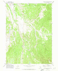
Editions of this 1972 Deadman Mountain Map
2 editions found
Other maps of this area

1885 · Uinta
USGS Topo · 1:250,000

1901 · Hayden Peak
USGS Topo · 1:125,000

1903 · Hayden Peak
USGS Topo · 1:125,000

1954 · Salt Lake City
USGS Topo · 1:250,000

1954 · Ogden
USGS Topo · 1:250,000

1958 · Ogden
USGS Topo · 1:250,000

1958 · Salt Lake City
USGS Topo · 1:250,000

1960 · Ogden
USGS Topo · 1:250,000

1960 · Salt Lake City
USGS Topo · 1:250,000

1965 · Myers Reservoir
USGS Topo · 1:24,000