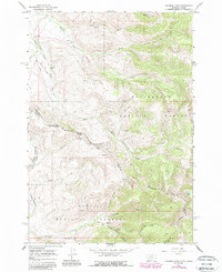
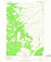
1965 Map of Deadman Pass
USGS Topo · Published 1989About this map
The Continental Divide defines this high-country landscape along the border of Montana and Idaho, marking the boundary between Beaverhead National Forest and Salmon National Forest. This 1960s survey, updated in the 1980s, captures the high-altitude headwaters of several drainage systems, including the complex forks of Maiden Creek and Horse Prairie Creek.
Find a feature on this map
28 named features on this map. Tap any name to fly to it.
Don’t see what you’re looking for? This feature index may not catch every label — zoom into the map to look around manually.
Map Details
Editions of this 1965 Deadman Pass Map
3 editions found
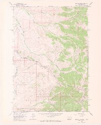
Other maps of this area

1955 · Dubois
USGS Topo · 1:250,000

1956 · Leadore
USGS Topo · 1:62,500

1956 · Morrison Lake
USGS Topo · 1:62,500

1958 · Dubois
USGS Topo · 1:250,000

1965 · Deadman Pass
USGS Topo · 1:24,000

1965 · Jeff Davis Peak
USGS Topo · 1:24,000
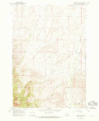
1965 · Hansen Ranch
USGS Topo · 1:24,000
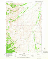
1965 · Everson Creek
USGS Topo · 1:24,000

1965 · Bannock Pass
USGS Topo · 1:24,000
1965 · Medicine Lodge Peak
USGS Topo · 1:24,000