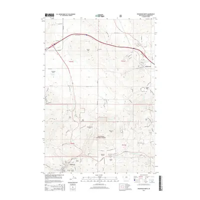
2015 Map of Deadwood North
USGS Topo · Published 2015About this map
Deadwood and its immediate surroundings are the focal point of this survey, which details the complex geography at the edge of the Black Hills National Forest. The map traces the rugged topography of the Black Hills gold country, featuring the historic Mount Moriah Cem and the Seth Bullock Grave overlooking the town. To the north and east, the landscape transitions into the open spaces of Centennial Prairie and the settlements of Whitewood and Crook City. The map provides a detailed view of the drainage systems that defined the region's mining and development, including Whitewood Cr, City Cr, and Two Bit Cr. High points like Whitewood Peak and White Rocks stand as prominent landmarks above the creek valleys and gulches such as Slaughterhouse Gulch and Spruce Gulch, documenting the intersection of wilderness and historic western settlement.
Find a feature on this map
96 named features on this map. Tap any name to fly to it.
Don’t see what you’re looking for? This feature index may not catch every label — zoom into the map to look around manually.
Map Details
Editions of this 2015 Deadwood North Map
This is the sole edition of this map. No revisions or reprints were ever made.
Other maps of this area

1894 · Deadwood
USGS Topo · 1:125,000

1899 · Sturgis
USGS Topo · 1:62,500

1900 · Spearfish
USGS Topo · 1:62,500

1901 · Deadwood
USGS Topo · 1:125,000

1905 · Saint Onge
USGS Topo · 1:62,500

1907 · Belle Fourche
USGS Topo · 1:125,000

1907 · Redwater
USGS Topo · 1:62,500

1915 · Spearfish
USGS Topo · 1:62,500

1915 · Sturgis
USGS Topo · 1:62,500

1916 · Deadwood
USGS Topo · 1:125,000