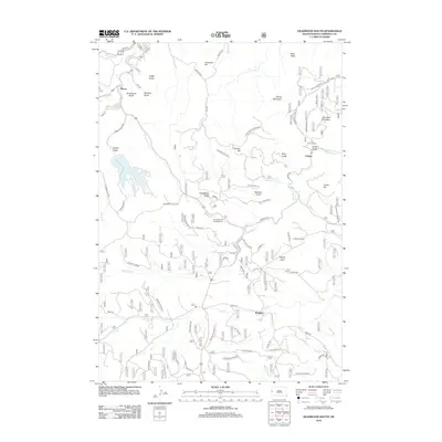
2012 Map of Deadwood South
USGS Topo · Published 2012About this map
Pluma and Galena anchor the northern reaches of this Lawrence County landscape, where the rugged topography of the Black Hills is defined by a dense network of gulches and ridges. The map reveals the intricate drainage patterns of the region, with Bear Butte Cr and Elk Cr cutting through the terrain near peaks like Dome Mountain and Bear Den Mountain. The local history of industry and transit is etched into the earth, visible in the long Railroad Grade that winds south of Windy Flats.
Find a feature on this map
64 named features on this map. Tap any name to fly to it.
Don’t see what you’re looking for? This feature index may not catch every label — zoom into the map to look around manually.
Map Details
Editions of this 2012 Deadwood South Map
This is the sole edition of this map. No revisions or reprints were ever made.
Other maps of this area

1894 · Deadwood
USGS Topo · 1:125,000

1899 · Sturgis
USGS Topo · 1:62,500

1900 · Spearfish
USGS Topo · 1:62,500

1901 · Deadwood
USGS Topo · 1:125,000

1915 · Spearfish
USGS Topo · 1:62,500

1915 · Sturgis
USGS Topo · 1:62,500

1916 · Deadwood
USGS Topo · 1:125,000

1953 · Nemo
USGS Topo · 1:24,000

1953 · Rapid City
USGS Topo · 1:250,000
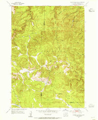
1954 · Deadman Mountain
USGS Topo · 1:24,000