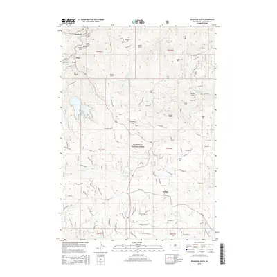
2015 Map of Deadwood South
USGS Topo · Published 2015About this map
The legendary mining landscape of the Black Hills is meticulously detailed on this 2015 survey, anchored by the historic hubs of Deadwood and Lead. This area, deeply intertwined with the Gold Rush era, shows the complex topography of gulches and peaks that defined early industrial settlement. Named features such as Grizzly Gulch and Deadwood Gulch provide geographic context for the region's famous mining history, while the drainage of Whitewood Cr and Yellow Cr weave through the urban centers. Beyond the primary cities, the map traces smaller communities like Galena, Roubaix, and Pluma, revealing how habitation patterns followed the gold-bearing geology. Much of the southern and eastern portion is protected within the Black Hills National Forest, where prominent landmarks like Pillar Peak and Strawberry Ridge rise above the dense network of forest roads and historic trails.
Find a feature on this map
97 named features on this map. Tap any name to fly to it.
Don’t see what you’re looking for? This feature index may not catch every label — zoom into the map to look around manually.
Map Details
Editions of this 2015 Deadwood South Map
This is the sole edition of this map. No revisions or reprints were ever made.
Other maps of this area

1894 · Deadwood
USGS Topo · 1:125,000

1899 · Sturgis
USGS Topo · 1:62,500

1900 · Spearfish
USGS Topo · 1:62,500

1901 · Deadwood
USGS Topo · 1:125,000

1915 · Spearfish
USGS Topo · 1:62,500

1915 · Sturgis
USGS Topo · 1:62,500

1916 · Deadwood
USGS Topo · 1:125,000

1953 · Nemo
USGS Topo · 1:24,000

1953 · Rapid City
USGS Topo · 1:250,000
1954 · Deadman Mountain
USGS Topo · 1:24,000