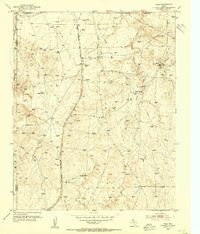
1953 Map of Deal
USGS Topo · Published 1954About this map
Chicago Rock Island and Pacific railroad tracks cut a definitive north-south line through this portion of the Texas Panhandle, serving as the spine for early 1950s ranching and industrial activity. The landscape is defined by its drainage systems, where Short Creek and Turkey Creek carve through the plains, and Antelope Creek splits into its West Fork and East Fork branches.
Find a feature on this map
20 named features on this map. Tap any name to fly to it.
Don’t see what you’re looking for? This feature index may not catch every label — zoom into the map to look around manually.
Map Details
Editions of this 1953 Deal Map
This is the sole edition of this map. No revisions or reprints were ever made.
Other maps of this area
1939 · Sanford
USGS Topo · 1:62,500
1953 · Sanford
USGS Topo · 1:24,000
1953 · Alibates Ranch
USGS Topo · 1:24,000
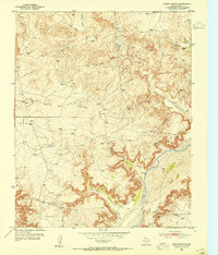
1953 · Evans Canyon
USGS Topo · 1:24,000
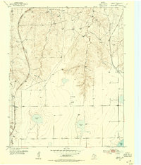
1953 · Pomeroy
USGS Topo · 1:24,000
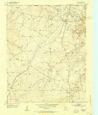
1953 · McBride
USGS Topo · 1:24,000
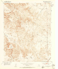
1953 · Berry Sand Draw
USGS Topo · 1:24,000
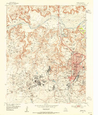
1953 · Borger
USGS Topo · 1:24,000
1954 · Amarillo
USGS Topo · 1:250,000
1958 · Amarillo
USGS Topo · 1:250,000