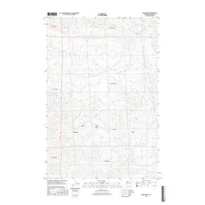
2017 Map of Dean Creek
USGS Topo · Published 2017About this map
Burt and Bedford are situated in a landscape defined by the intricate drainage of the Willapa Hills area during the early 21st century. The terrain is marked by a dense network of watercourses, including the Fall River and Dean Creek, which flow through the northern sections, and the meandering paths of Little Elk Cr and Swem Cr to the south. This 2017 survey reveals the spatial distribution of rural settlements like Elk Creek, Davis, and Swem, often located along these essential water systems. Land management history is noted through labels such as Port Blakely, indicating legacy timber or land interests that shaped the region's development. The map provides a clear look at the township and range divisions, such as t14n r6w, which underscore the systematic organization of this Pacific County territory.
Find a feature on this map
23 named features on this map. Tap any name to fly to it.
Don’t see what you’re looking for? This feature index may not catch every label — zoom into the map to look around manually.
Map Details
Editions of this 2017 Dean Creek Map
This is the sole edition of this map. No revisions or reprints were ever made.
Other maps of this area

1940 · Montesano
USGS Topo · 1:62,500

1941 · Walville
USGS Topo · 1:62,500

1941 · Ford
USGS Topo · 1:62,500

1953 · Hoquiam
USGS Topo · 1:250,000

1953 · Pe Ell
USGS Topo · 1:62,500

1953 · Malone
USGS Topo · 1:62,500

1955 · Montesano
USGS Topo · 1:62,500

1955 · Raymond
USGS Topo · 1:62,500

1957 · Hoquiam
USGS Topo · 1:250,000

1958 · Hoquiam
USGS Topo · 1:250,000