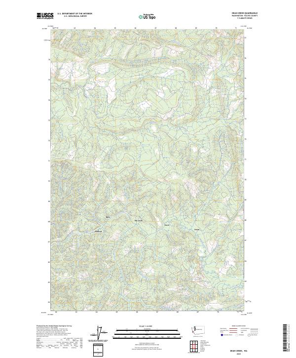
2023 Map of Dean Creek
USGS Topo · Published 2023About this map
The Port Blakely area in Pacific County reveals a landscape defined by an intricate network of waterways draining toward the coast. This rural portion of Southwest Washington is characterized by a high density of small settlements that follow the natural topography of the creek beds and river valleys. Named locations such as Burt, Bedford, and Davis are interspersed among the drainages of the Fall River and its various tributaries, suggesting a history of dispersed agricultural or timber-based settlement.
Find a feature on this map
24 named features on this map. Tap any name to fly to it.
Don’t see what you’re looking for? This feature index may not catch every label — zoom into the map to look around manually.
Map Details
Editions of this 2023 Dean Creek Map
This is the sole edition of this map. No revisions or reprints were ever made.
Other maps of this area

1940 · Montesano
USGS Topo · 1:62,500

1941 · Walville
USGS Topo · 1:62,500

1941 · Ford
USGS Topo · 1:62,500

1953 · Hoquiam
USGS Topo · 1:250,000

1953 · Pe Ell
USGS Topo · 1:62,500

1953 · Malone
USGS Topo · 1:62,500

1955 · Montesano
USGS Topo · 1:62,500

1955 · Raymond
USGS Topo · 1:62,500

1957 · Hoquiam
USGS Topo · 1:250,000

1958 · Hoquiam
USGS Topo · 1:250,000