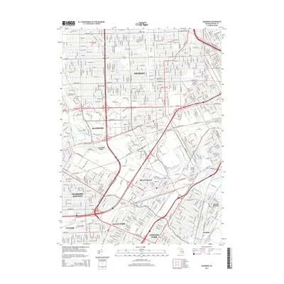
2014 Map of Dearborn
USGS Topo · Published 2014About this map
Greenfield Village and the industrial corridors of the River Rouge define this densely developed landscape of eastern Wayne County. The map shows the intricate urban grid where Detroit meets its western neighbors, including Dearborn, Melvindale, and Allen Park. The region's transport network is particularly prominent, centered on the Southfield Fwy and the sprawling intersections along Michigan Ave and Ford Rd. Institutional landmarks such as the Univ of Michigan-Dearborn and Henry Ford Community Coll occupy significant tracts near the river's winding path.
Find a feature on this map
50 named features on this map. Tap any name to fly to it.
Don’t see what you’re looking for? This feature index may not catch every label — zoom into the map to look around manually.
Map Details
Editions of this 2014 Dearborn Map
This is the sole edition of this map. No revisions or reprints were ever made.
Other maps of this area

1905 · Wayne
USGS Topo · 1:62,500

1905 · Detroit
USGS Topo · 1:62,500

1906 · Wyandotte
USGS Topo · 1:62,500

1906 · Romulus
USGS Topo · 1:62,500

1912 · Wyandotte
USGS Topo · 1:62,500

1912 · Wayne
USGS Topo · 1:62,500

1918 · Detroit
USGS Topo · 1:62,500

1924 · Detroit
USGS Topo · 1:62,500

1928 · Romulus
USGS Topo · 1:62,500

1929 · Wyandotte
USGS Topo · 1:62,500