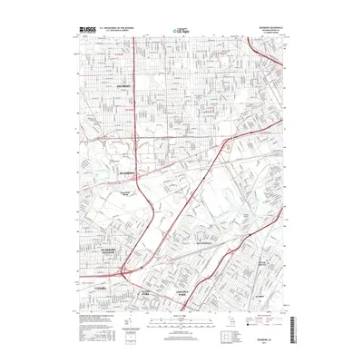
2017 Map of Dearborn
USGS Topo · Published 2017About this map
The dense urban and industrial landscape of Wayne County is defined here by the winding River Rouge as it snake through Dearborn and Melvindale. This 2017 survey captures the area's complex geography, featuring historic sites like Greenfield Village and several prominent cemeteries that serve as anchors for local genealogy, including Ford Cem, Holy Cross Cem, and Woodmere Cem.
Find a feature on this map
205 named features on this map. Tap any name to fly to it.
Don’t see what you’re looking for? This feature index may not catch every label — zoom into the map to look around manually.
Map Details
Editions of this 2017 Dearborn Map
This is the sole edition of this map. No revisions or reprints were ever made.
Other maps of this area

1905 · Wayne
USGS Topo · 1:62,500

1905 · Detroit
USGS Topo · 1:62,500

1906 · Wyandotte
USGS Topo · 1:62,500

1906 · Romulus
USGS Topo · 1:62,500

1912 · Wyandotte
USGS Topo · 1:62,500

1912 · Wayne
USGS Topo · 1:62,500

1918 · Detroit
USGS Topo · 1:62,500

1924 · Detroit
USGS Topo · 1:62,500

1928 · Romulus
USGS Topo · 1:62,500

1929 · Wyandotte
USGS Topo · 1:62,500