2019 Map of Dearfield
USGS Topo · Published 2019About this map
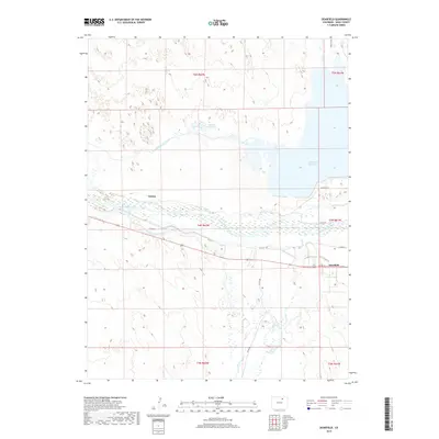
Dearfield and Canton represent the primary settlements within this Weld County landscape, where the managed waters of the South Platte River define the local geography. The map reveals a complex hydraulic system vital to the region's agricultural character, including the Riverside Intake Canal, Empire Intake Canal, and Bijou Canal. These man-made features diverted water into significant storage areas such as the Riverside Reservoir and Seventy Holes Lake, reflecting the intensive water management required for High Plains settlement. Seasonal drainage is further marked by Lost Cr and Sanborn Draw, which cut through the surrounding terrain. This survey provides a clear view of the rural infrastructure in the early twenty-first century, showing the grid of county roads that connects these isolated communities and the industrial-scale irrigation projects that sustain them.
Find a feature on this map
21 named features on this map. Tap any name to fly to it.
Don’t see what you’re looking for? This feature index may not catch every label — zoom into the map to look around manually.
Map Details
Editions of this 2019 Dearfield Map
This is the sole edition of this map. No revisions or reprints were ever made.
Other maps of this area

1950 · Greasewood Lake
USGS Topo · 1:24,000

1950 · Tampa
USGS Topo · 1:24,000

1950 · Barnesville
USGS Topo · 1:24,000

1950 · Masters
USGS Topo · 1:24,000

1950 · Hardin
USGS Topo · 1:24,000

1951 · Masters
USGS Topo · 1:24,000

1951 · Hardin
USGS Topo · 1:24,000

1951 · Roggen
USGS Topo · 1:24,000

1951 · Omar
USGS Topo · 1:24,000

1951 · Point Of Rocks
USGS Topo · 1:24,000